This is an
experimental web portal for graphic visualization of the
operational and experimental results from the storm surge
and tide forecast systems being developed and tested by the
National Ocean Service.
ESTOFS model output is NOT total water level guidance.
Actual water levels can be significantly higher than
forecast due to waves, steric effect and other components
not presently included in the ESTOFS.
Please check with your regional National Weather Service
forecast
service for the official water level forecast. |
|
|
|
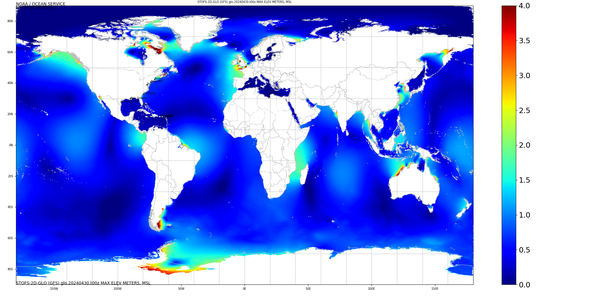
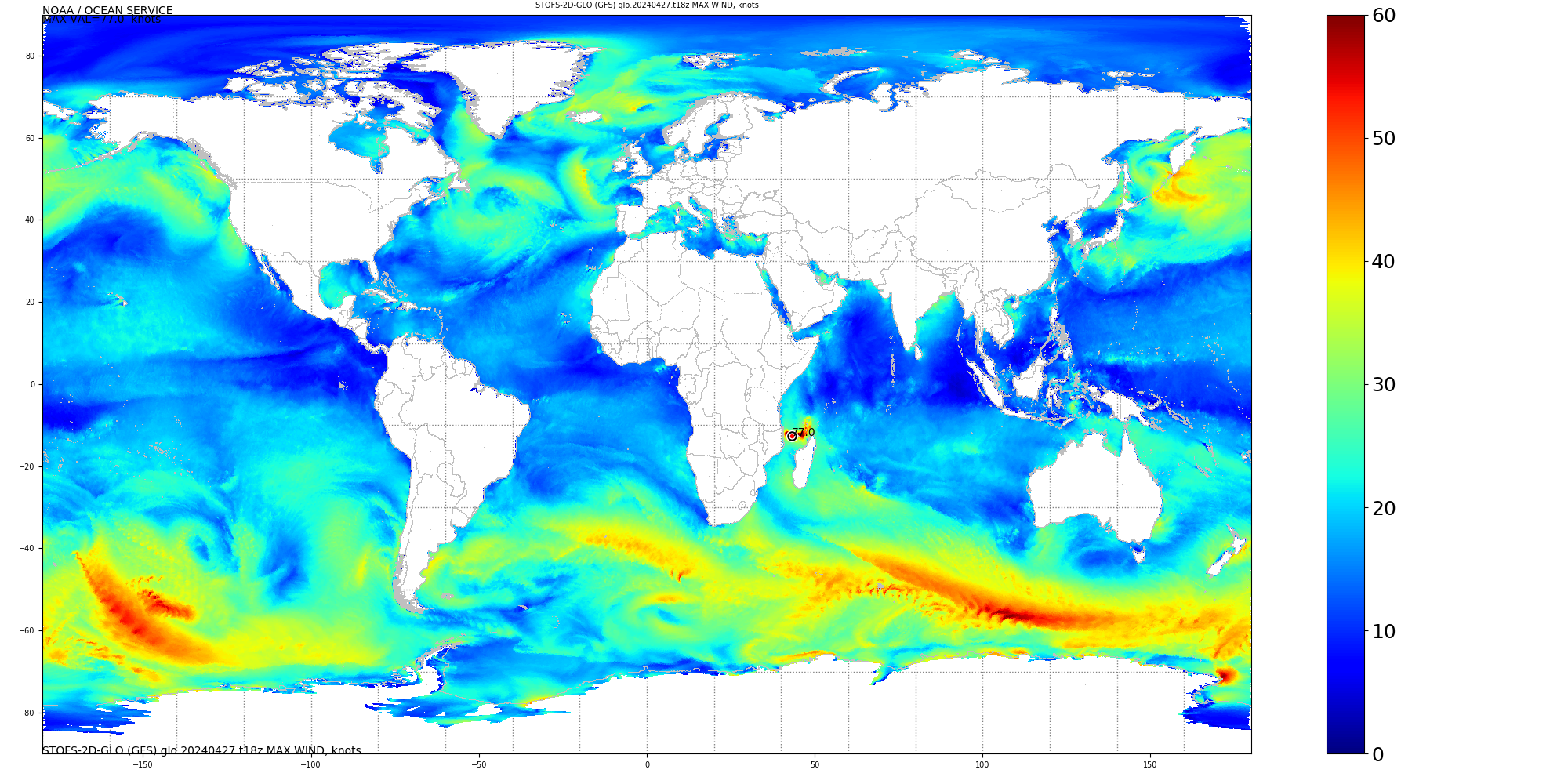
Global ESTOFS (Operational) Latest Forecast Cycle:
|
|
Official Graphics Output
Digital Output (operational
production)
|
|
|
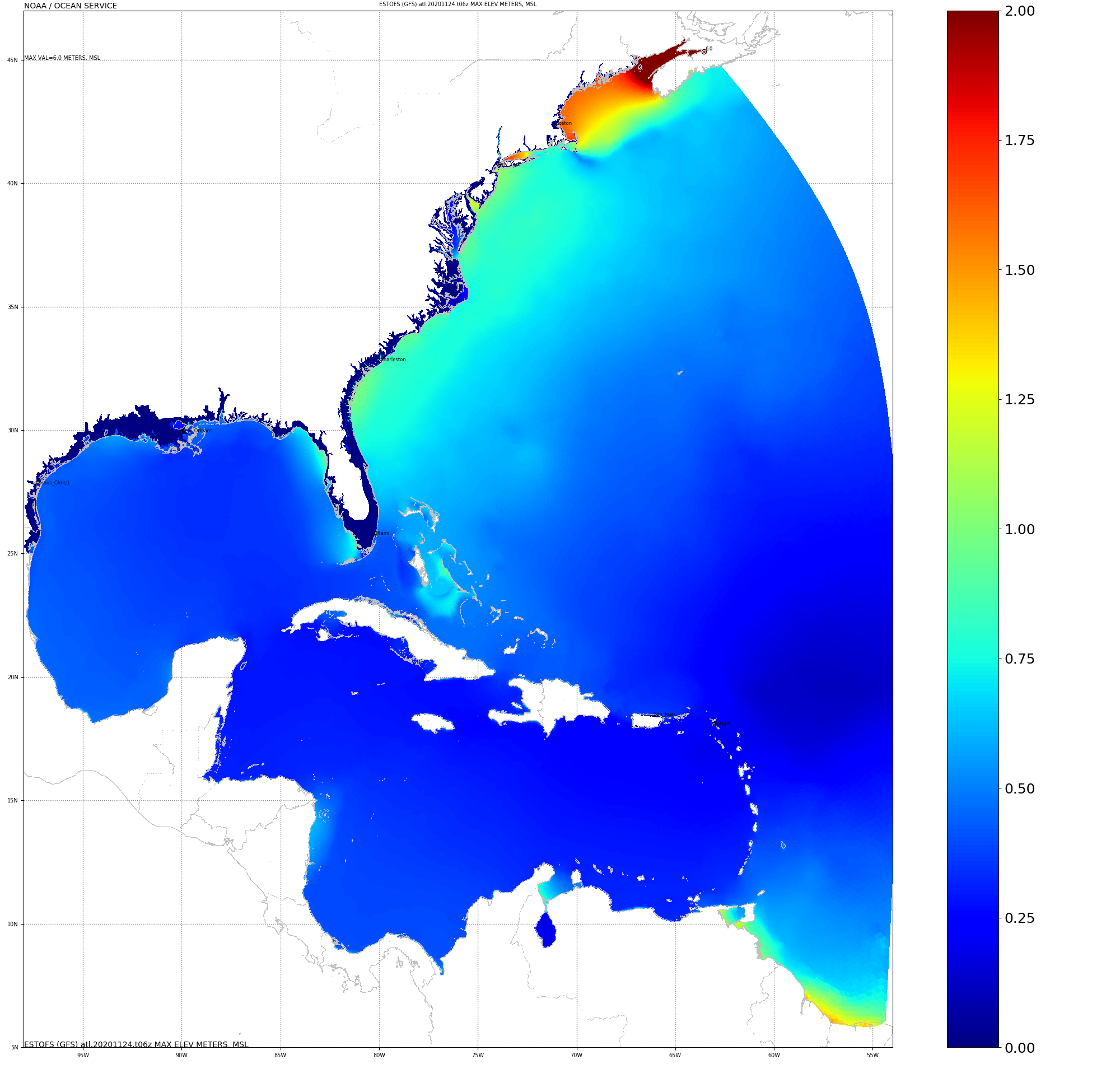
ESTOFS-Atlantic Decommissioned 24 Nov 2020:
|
|
Official Graphics Output
|
Digital Output (operational
production)
- grib filter
- http
- OpenDAP-alt
|
|
National Hurricane
Center's Five-Day Graphical Tropical Weather Outlook in
the Atlantic
|
|
|
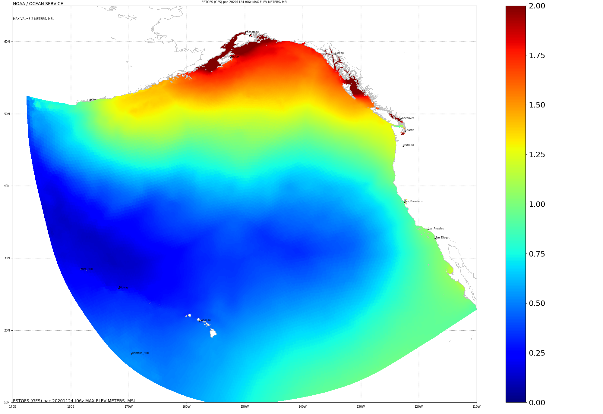
ESTOFS-Pacific Decommissioned 24 Nov 2020:
|
|
Official Graphics Output
|
Digital Output (operational
production)
- grib filter
- http
- OpenDAP-alt
|
|
National Hurricane
Center's Five-Day Graphical Tropical Weather Outlook in
the East Pacific
|
|
|
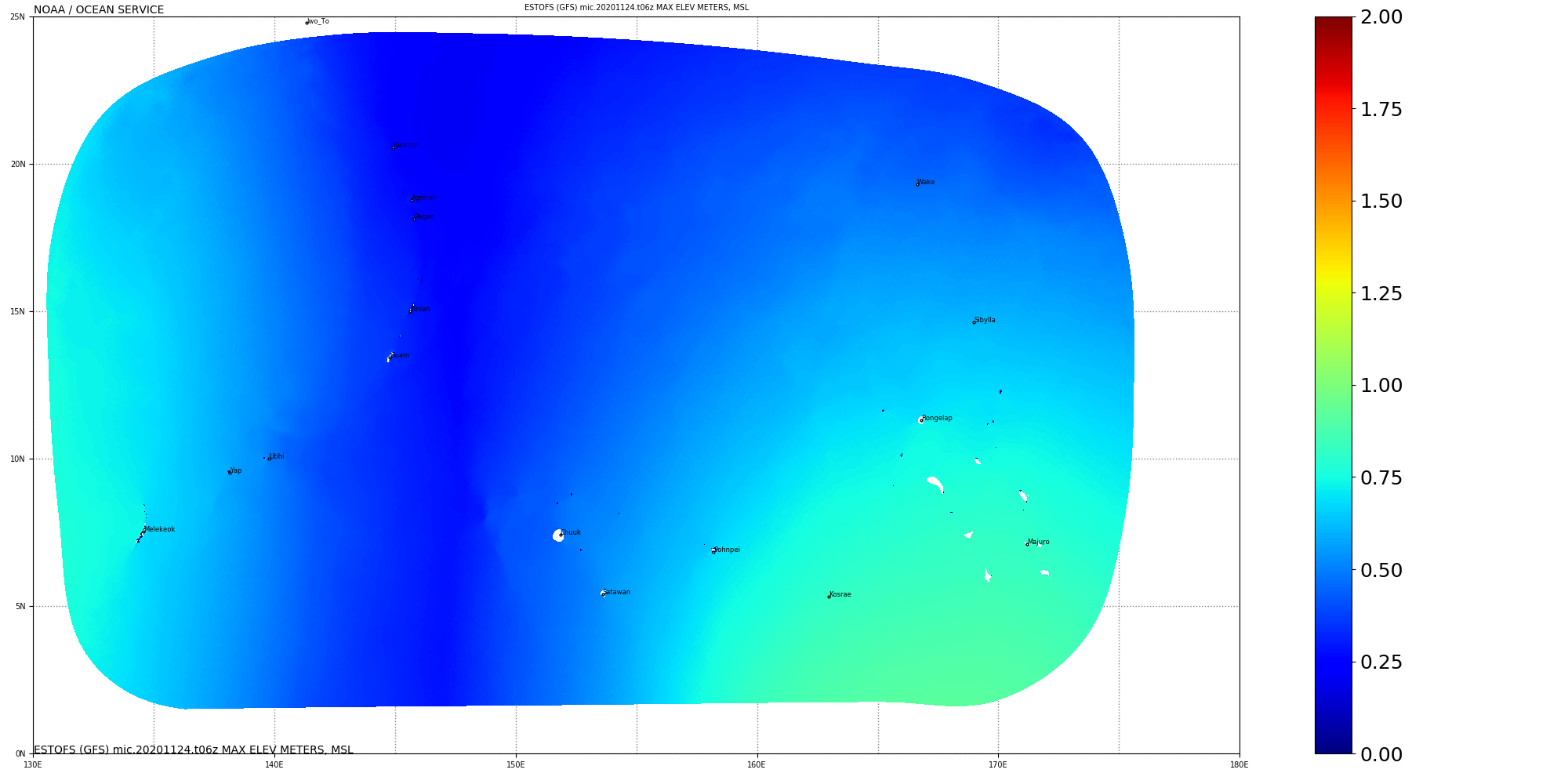
ESTOFS-Micronesia Decommissioned 24 Nov 2020:
|
|
Official Graphics Output
|
Digital Output (operational
production)
- grib filter
- http
- OpenDAP-alt
|
|
Joint Typhoon Warning
Center Tropical Cyclone Development Potential Graphics
|
|
|
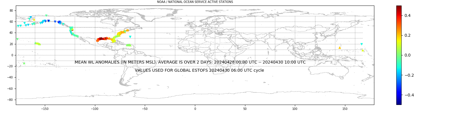
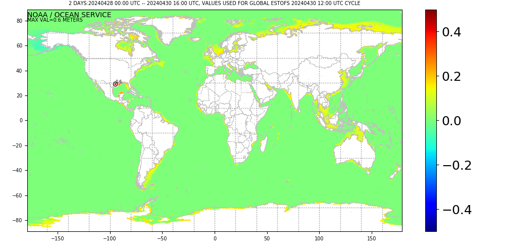
Coastal Water Level
Observations
|
Saffir-Simpson Wind Scale

|
|
|
Coastal Water Levels Interpolated onto Global ESTOFS Grid:
|
|
|
|
ESTOFS-Related Software
|
|
|
|
Contact:
Yuji.Funakoshi@noaa.gov for Operational/Scientific Support
Gregory.Seroka@noaa.gov for Operational/Graphics Support
Georgios.Britzolakis@noaa.gov for Graphics/Validation Support
|
|


CSDLPy Stack - Python back-end