Description of Global RTOFS NetCDF files on NOMADS (Text)


Home Compare with Obs Data Assim Monitor (Internal) RTOFS & WOCE Graphics Viewer Data Access About the Model
Home Z-Levels Fronts Sea Ice Metrics DA QC (internal use) Data Access About

All files are on native model grid and the volume files have been interpolated to fixed isolevels (Z -levels).

  1. Full 3d volume global files.

    Variables: Salinity (3zsio), Temperature (3ztio), u-velocity (3zuio), v-velocity (3zvio)

    33 isolevels with depths (in m) = 0, 10, 20, 30, 50, 75, 100, 125, 150, 200, 250, 300, 400, 500, 600, 700, 800, 900, 1000, 1100, 1200, 1300, 1400, 1500, 1750, 2000, 2500, 3000, 3500, 4000, 4500, 5000, 5500 ;

    Frequency: Daily (n024, n048, f024, f048, f072, f096, f120, f144)

    Examples:
    rtofs_glo_3dz_n024_daily_3ztio.nc
    Description: 24 hour nowcast, global volume 3D file on Z levels for temperature.
    rtofs_glo_3dz_f120_daily_3zvio.nc
    Description: 120 hour forecast, global volume 3D file on Z levels for v-velocity component.
  2. Surface global files.

    Variables: SST, SSS, U-Velocity, V-Velocity, Speed, layer Density (prognostic)

    SSH, MLD, BLD (diagnostic)

    Ice coverage, Ice thickness, Ice Temperature, Ice U Velocity, Ice V Velocity (ice)

    Frequency: 1 hour (000-072) 3hours (75-192) : for forecast 1 hour (000-024) : for nowcast

    Examples:
    rtofs_glo_2ds_f009_prog.nc
    Description: 15 hour forecast, global surface file for prognostic variables
    rtofs_glo_2ds_n015_3hrly_diag.nc
    Description: 15 hour nowcast, global surface file for diagnostic variables
  3. Regional volume files.

    Three regions: US_east, US_west, alaska
Global RTOFS US_east Map Global RTOFS US_west Map Global RTOFS Alaska Map
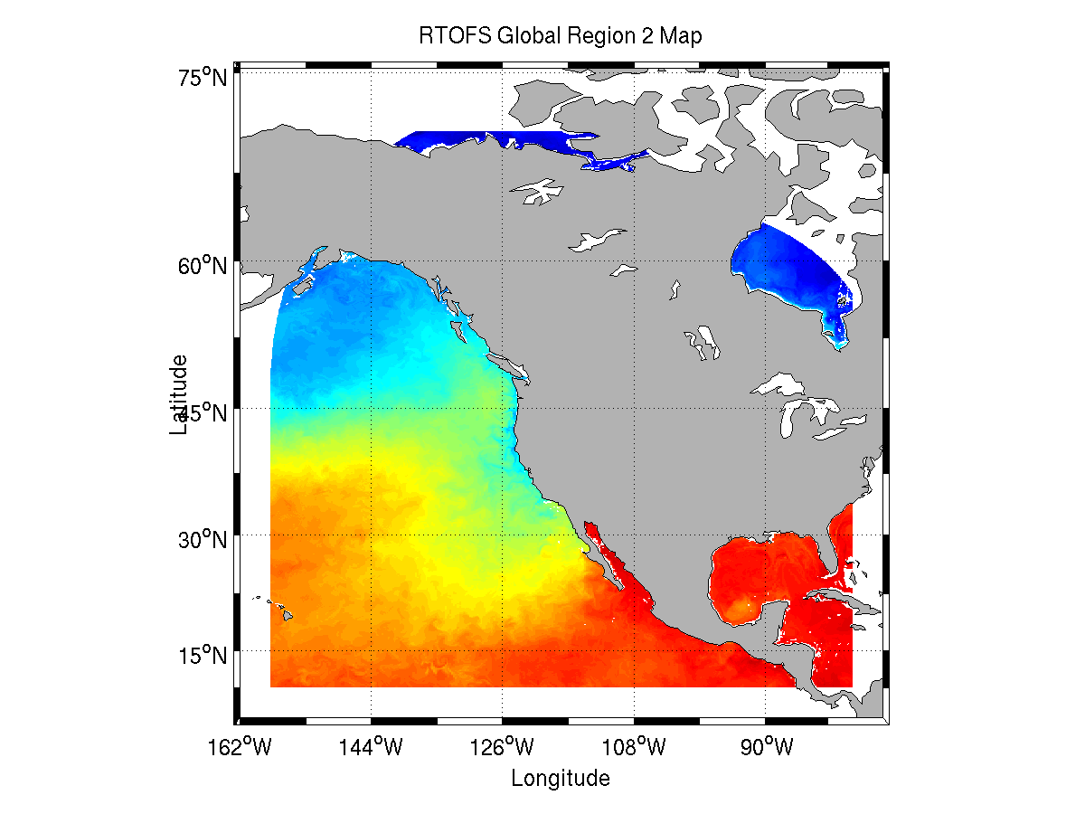
Click on maps to enlarge