


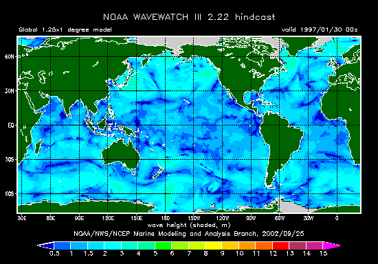
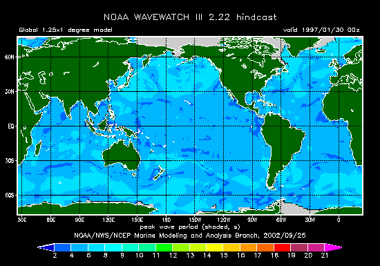
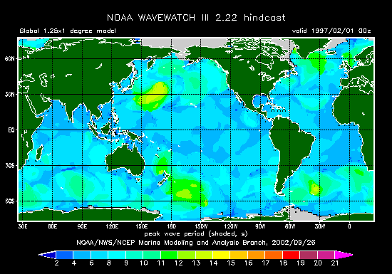
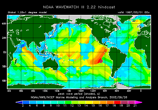
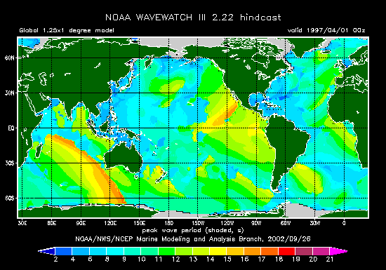
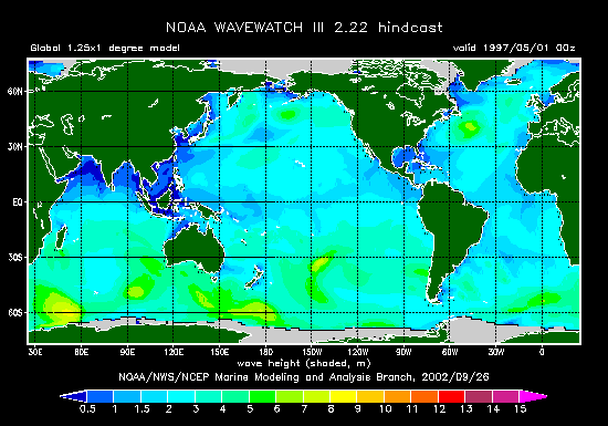
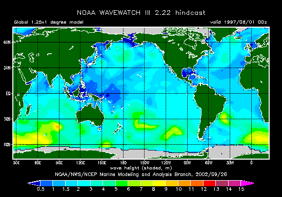
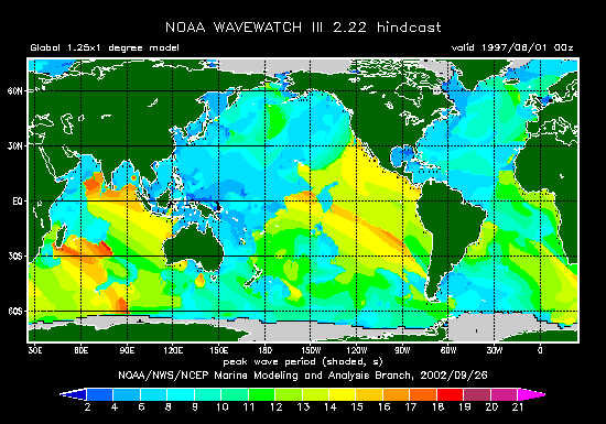
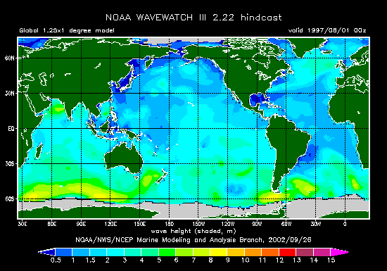
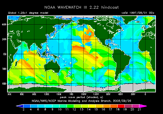
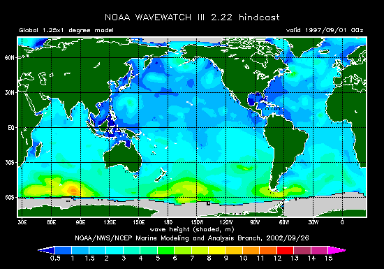
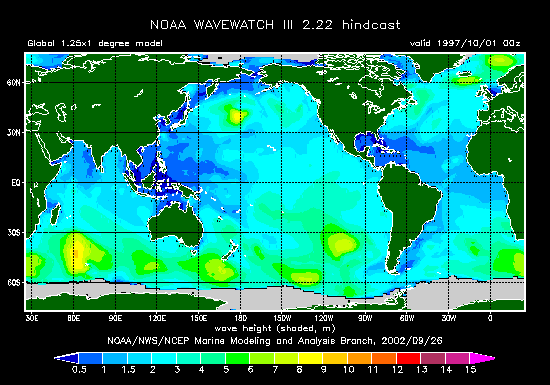
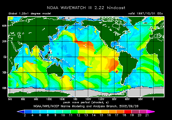
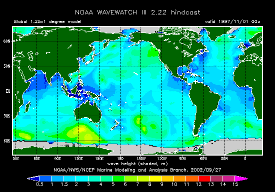
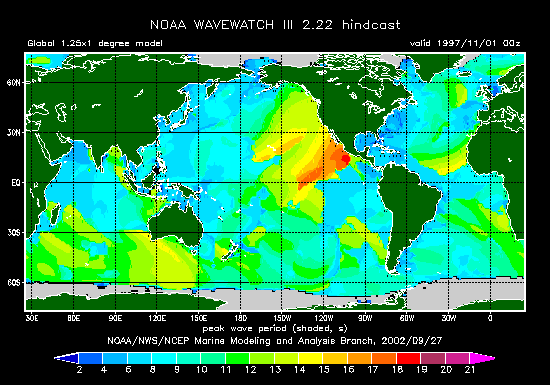
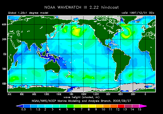
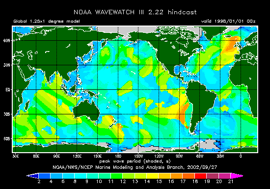
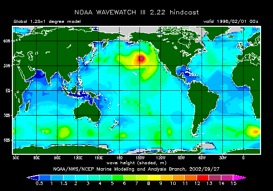
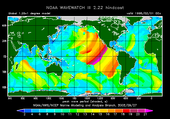
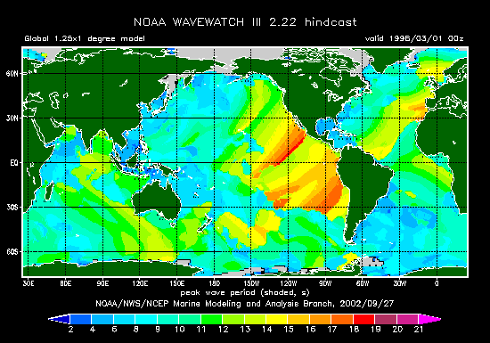
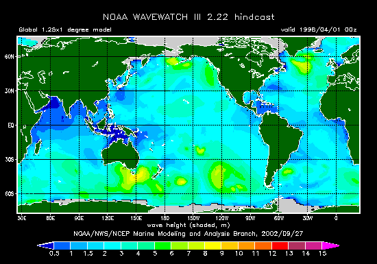
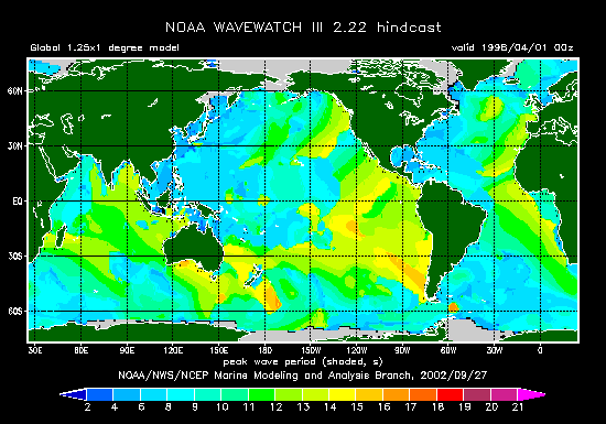
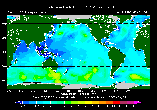
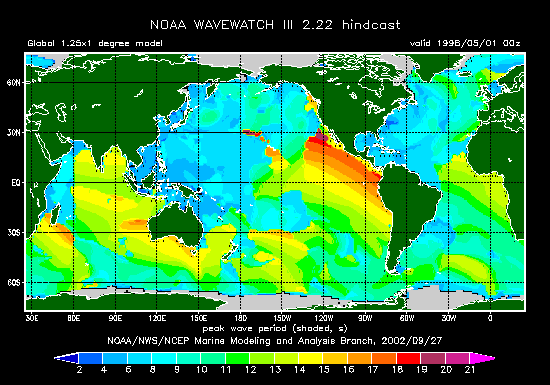
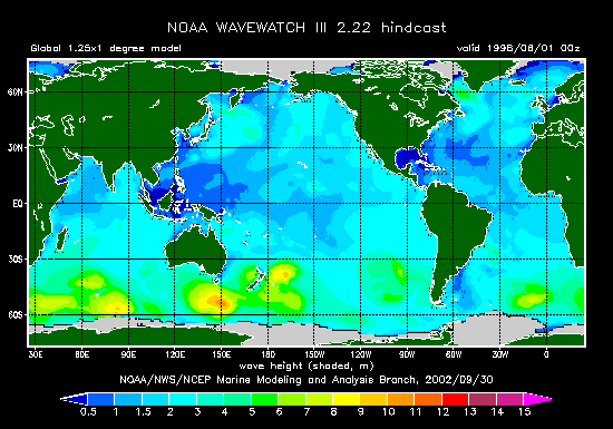
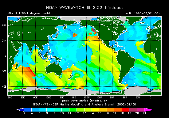
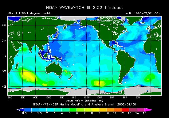
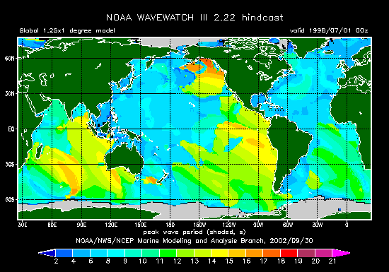
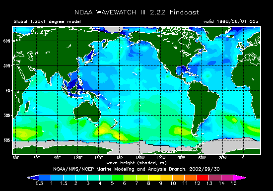
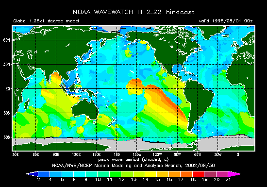
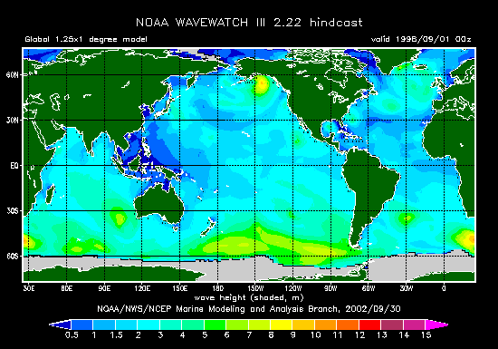
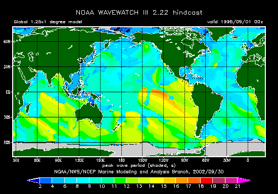
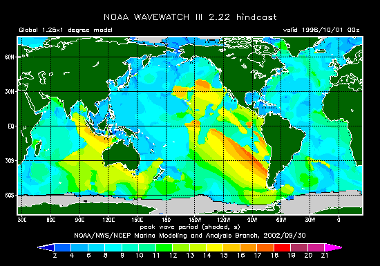
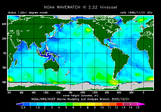
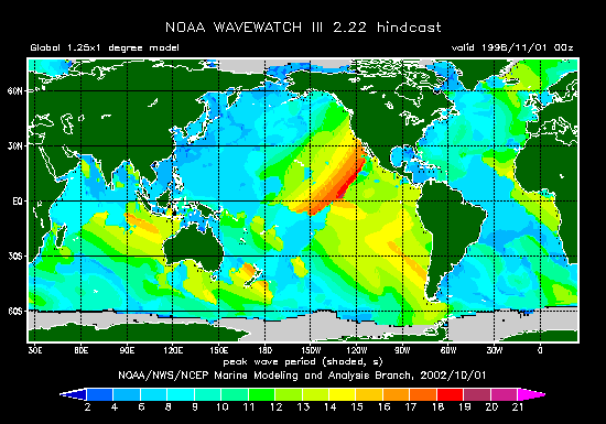
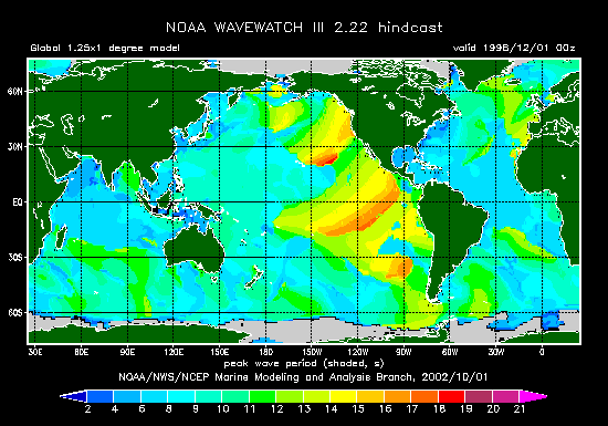
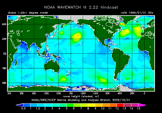
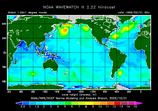
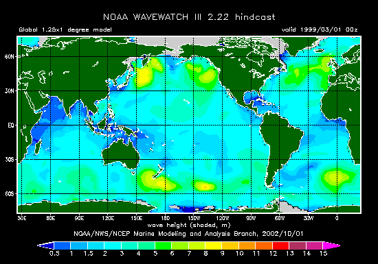
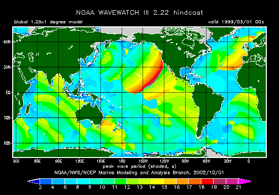
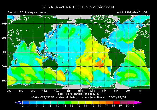
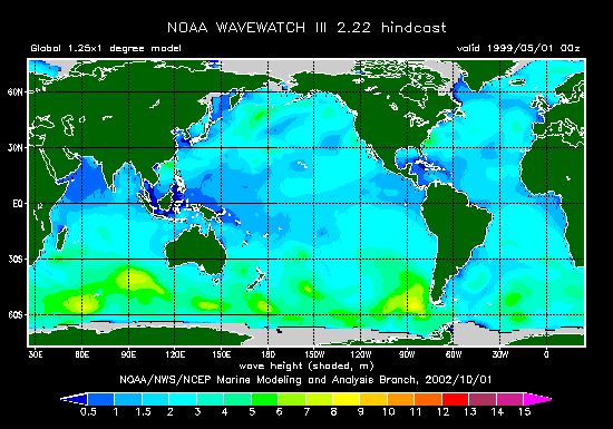
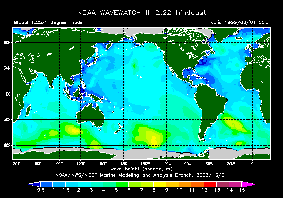
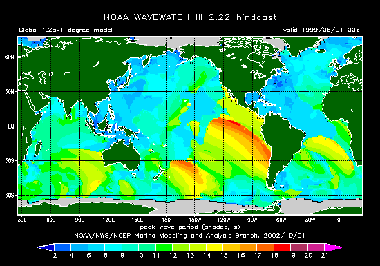
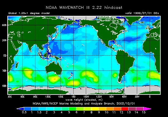
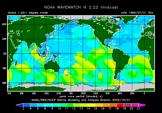
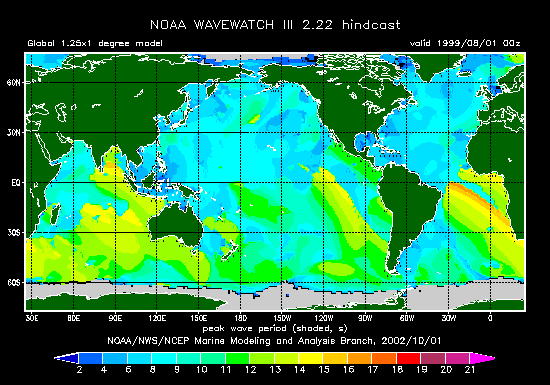
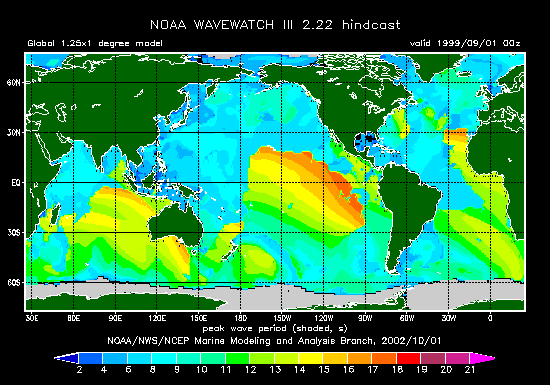
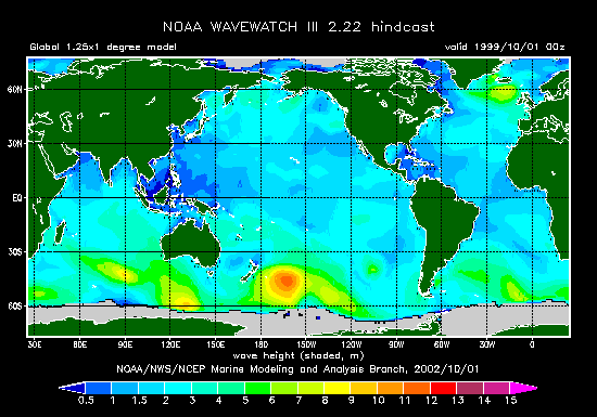
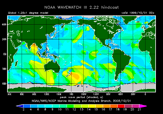
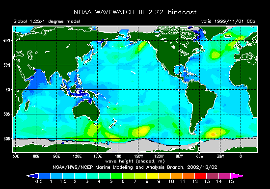
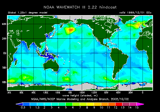
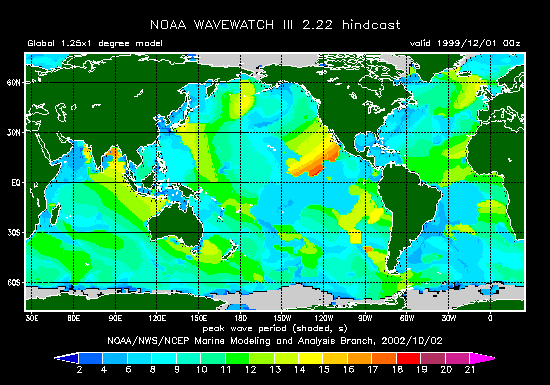
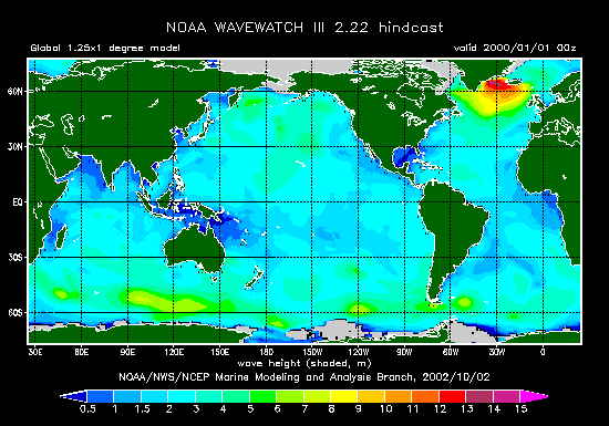
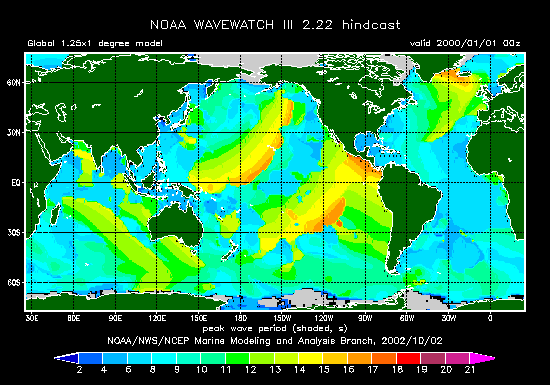
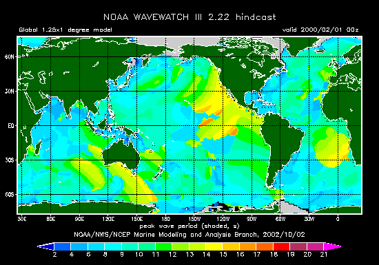
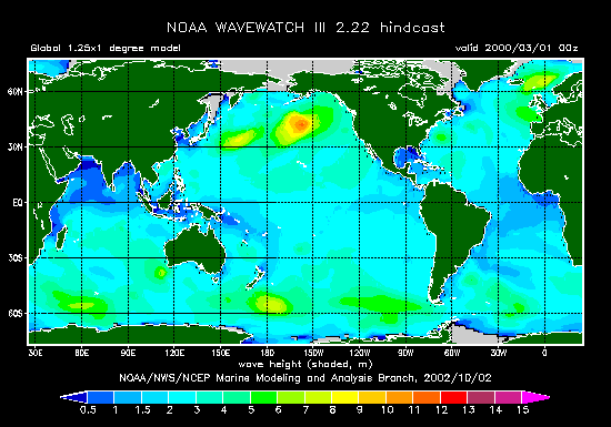
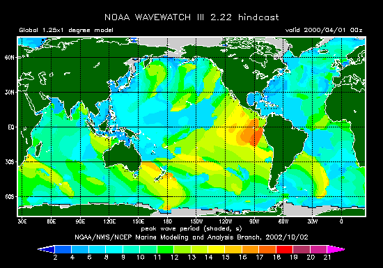
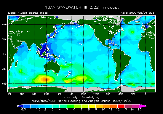
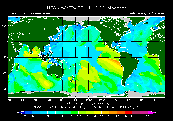
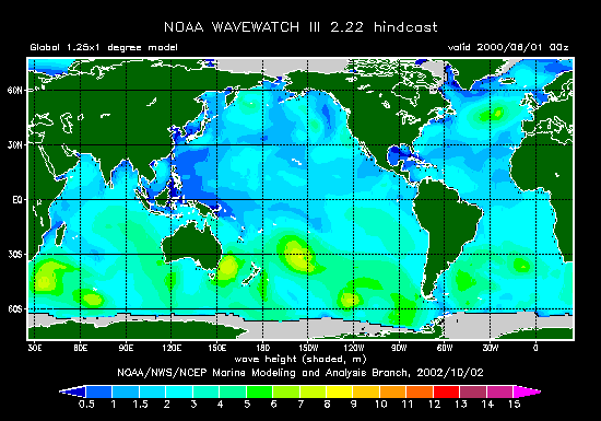
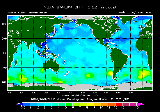
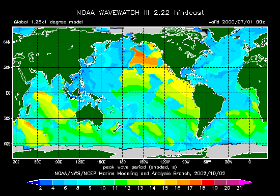
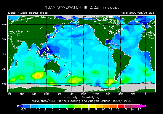
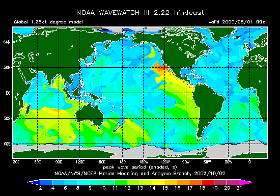
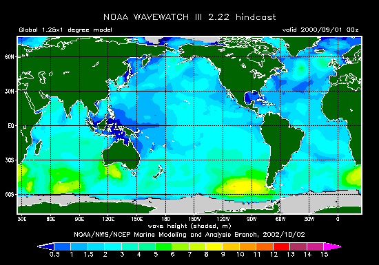
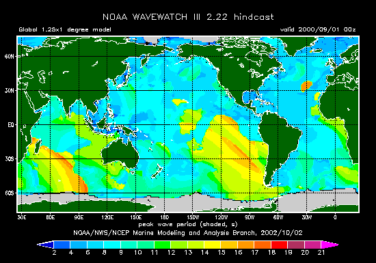
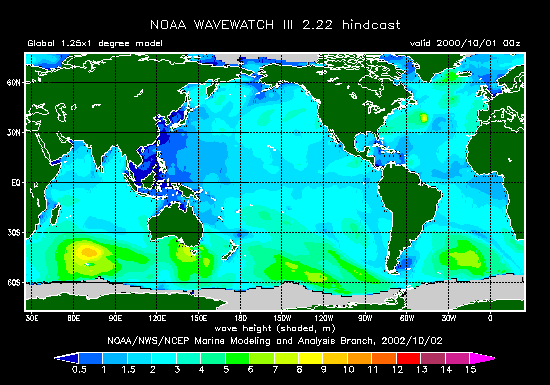
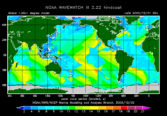
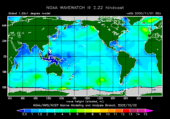
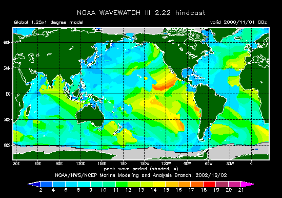
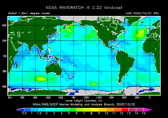
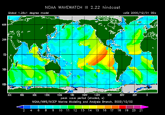
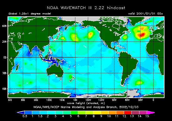
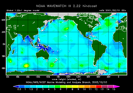
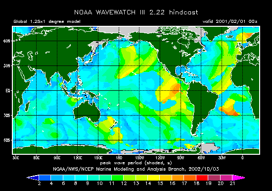
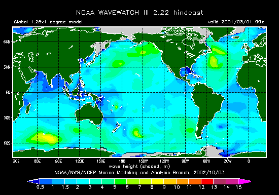
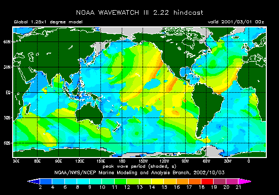
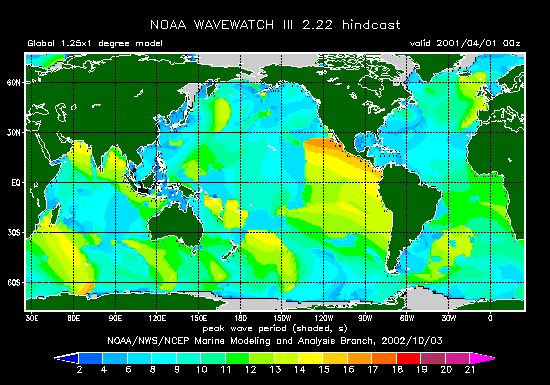
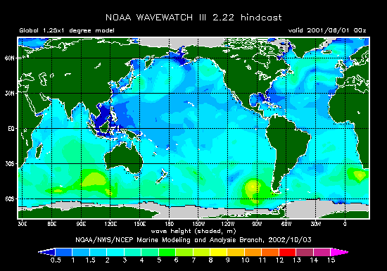
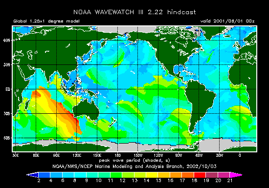
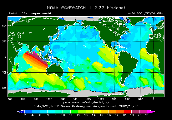
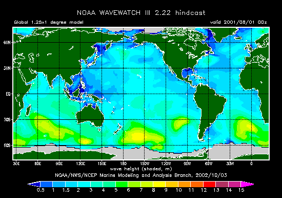
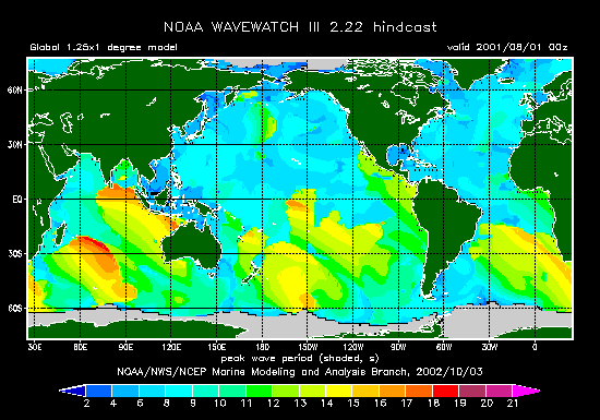
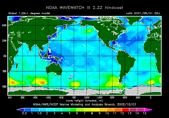
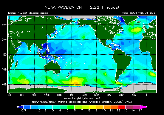
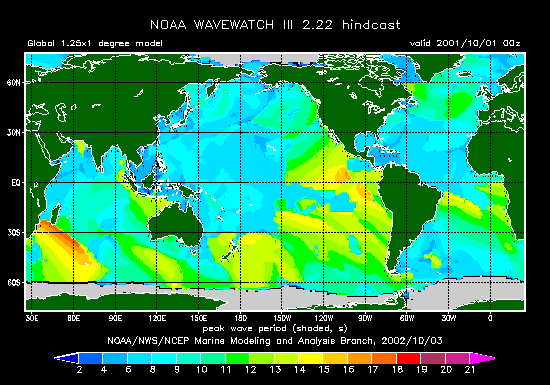
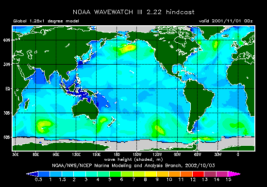
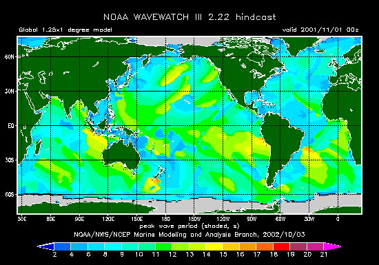
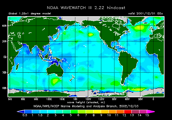
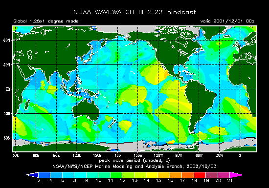
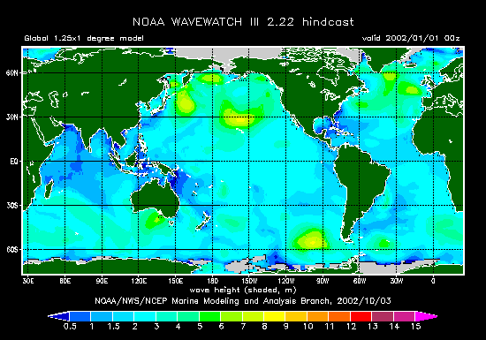
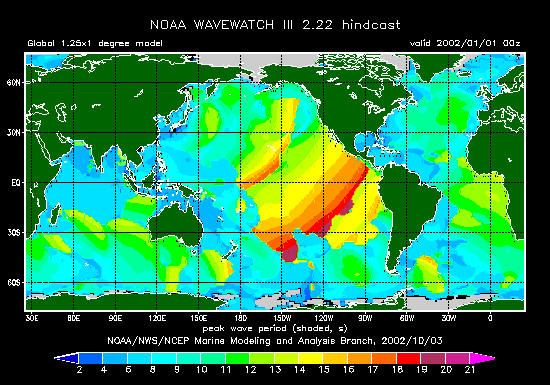
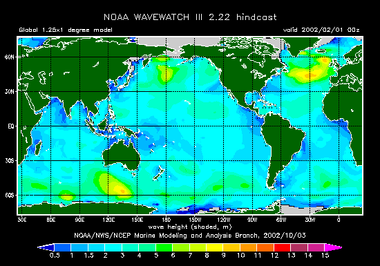
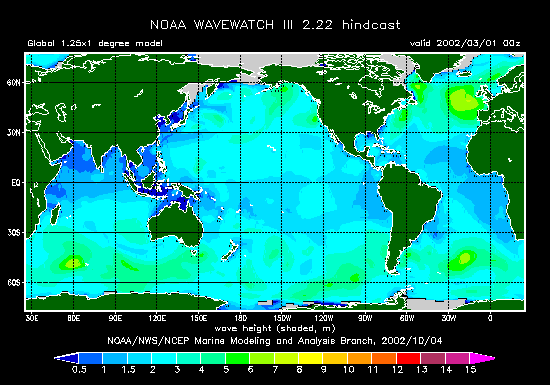
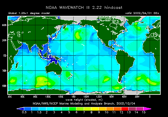
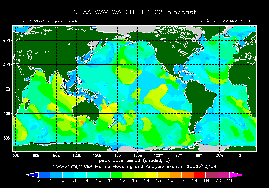
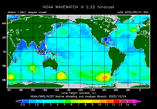
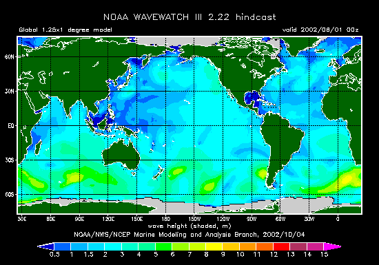
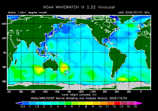
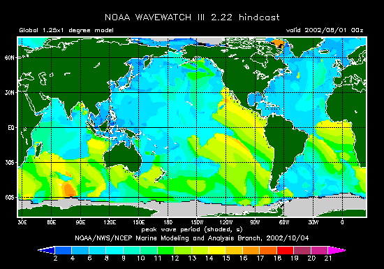
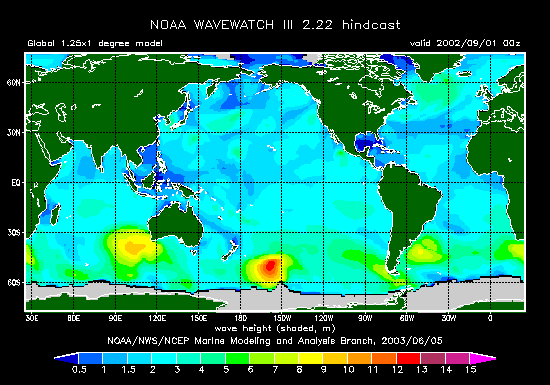
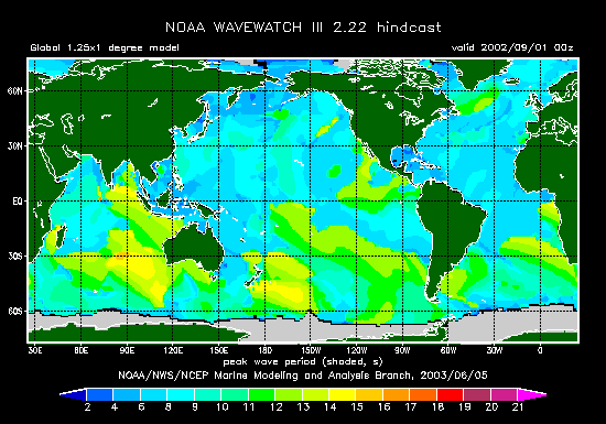
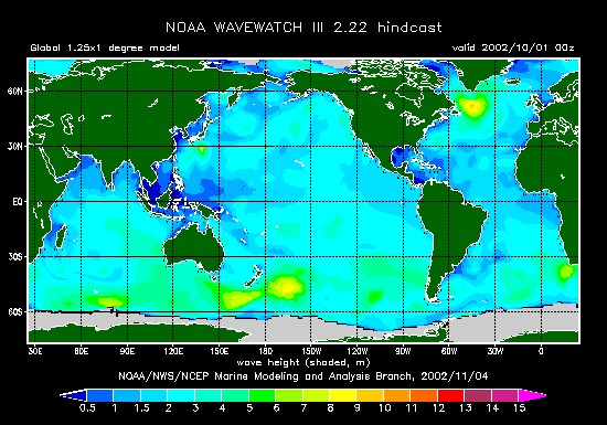
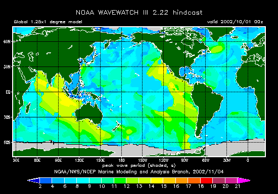
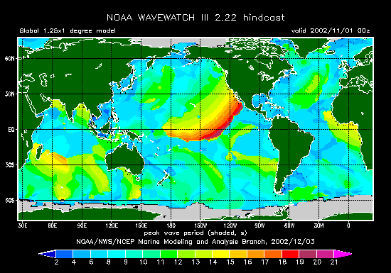
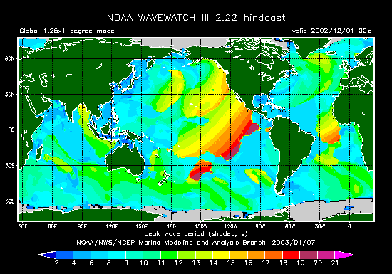
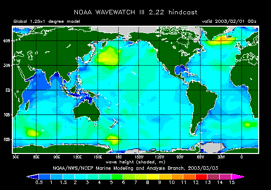
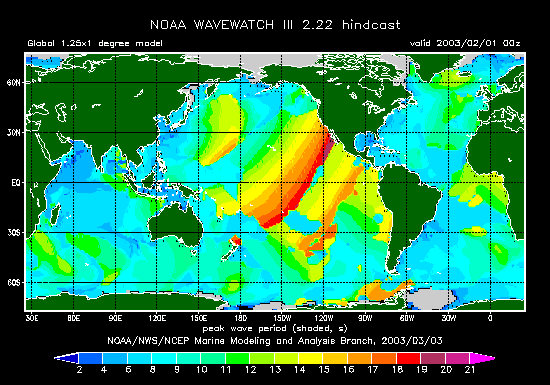
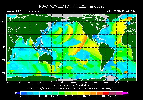
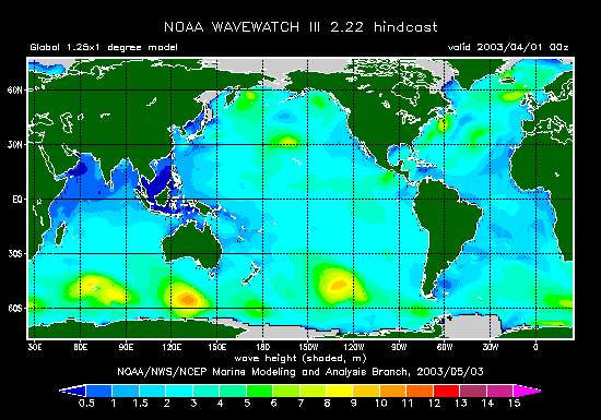
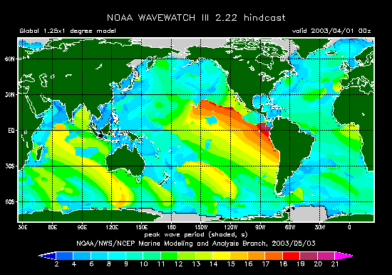
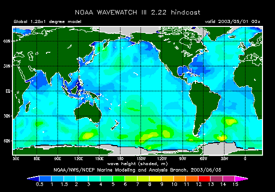
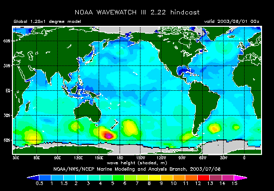
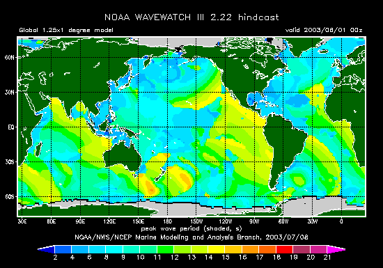
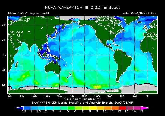
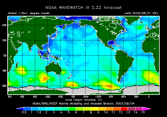
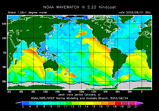
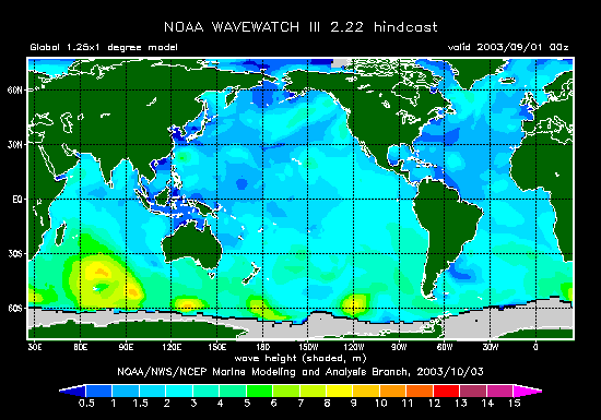
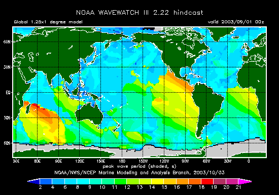
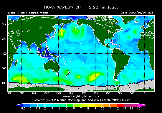
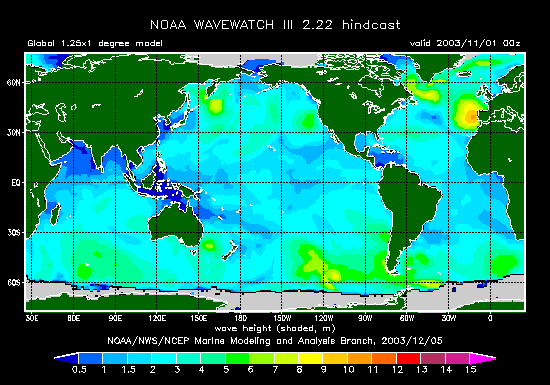
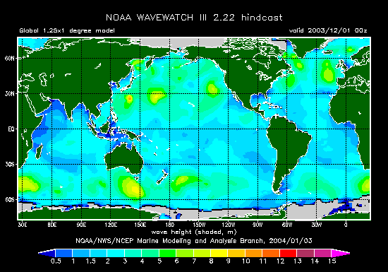
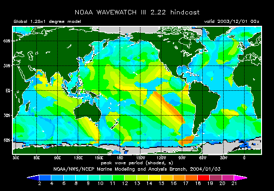
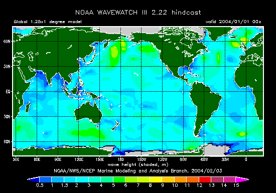
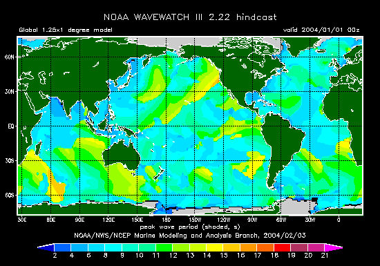
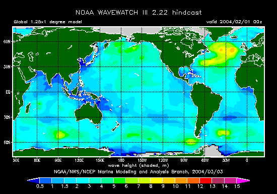
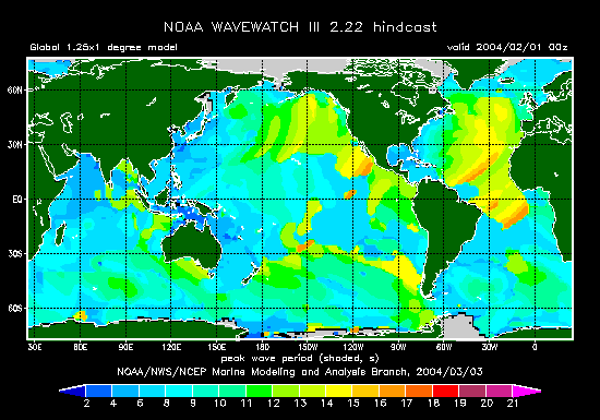
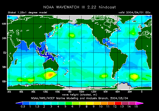
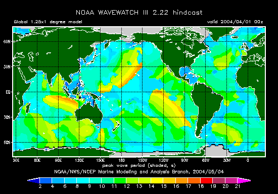
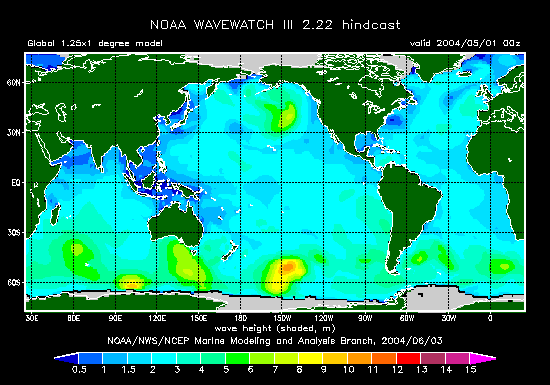
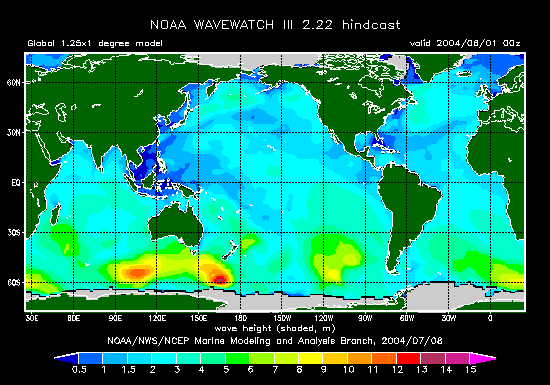
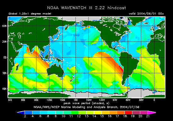
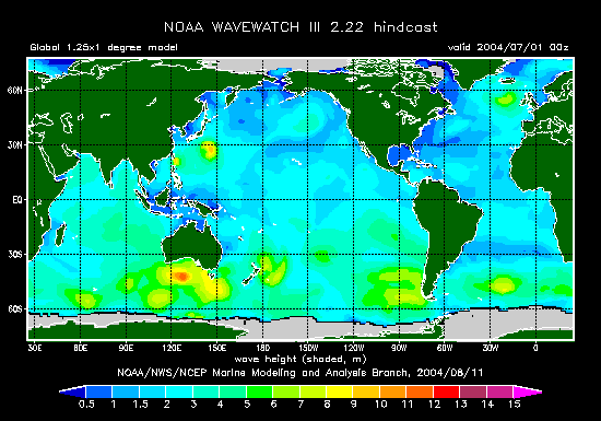
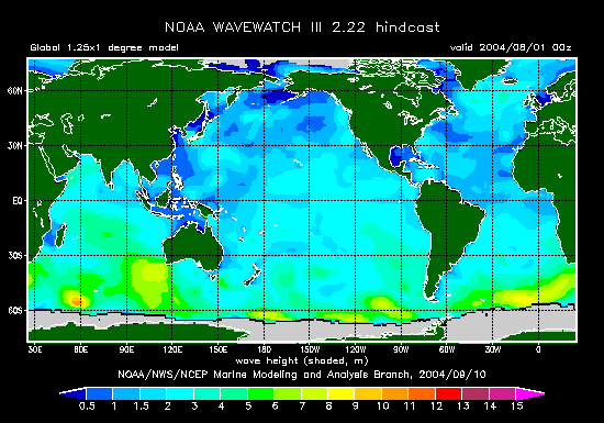
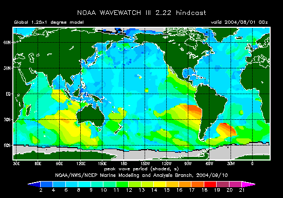
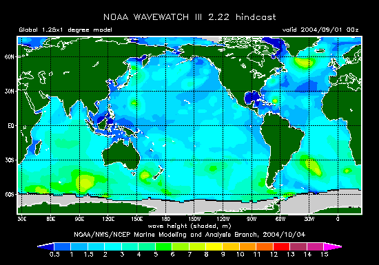
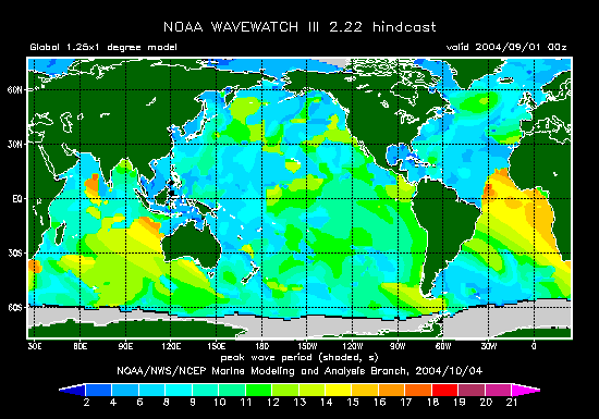
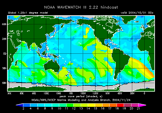
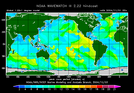
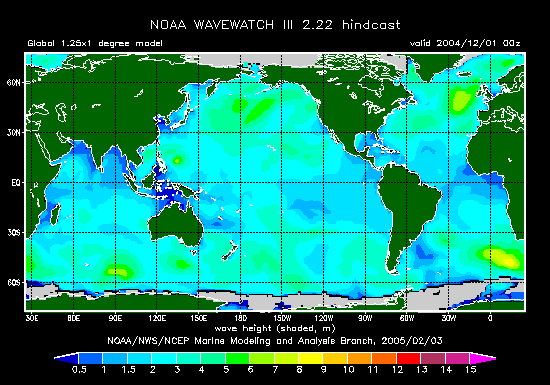
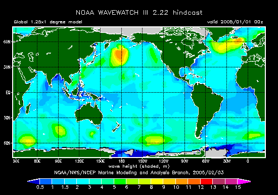
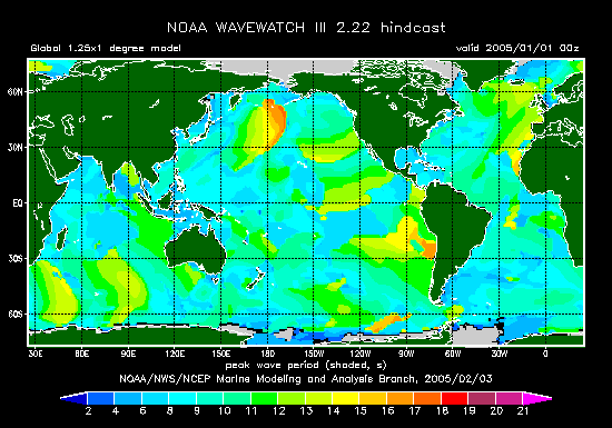
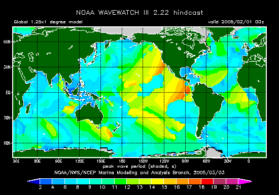
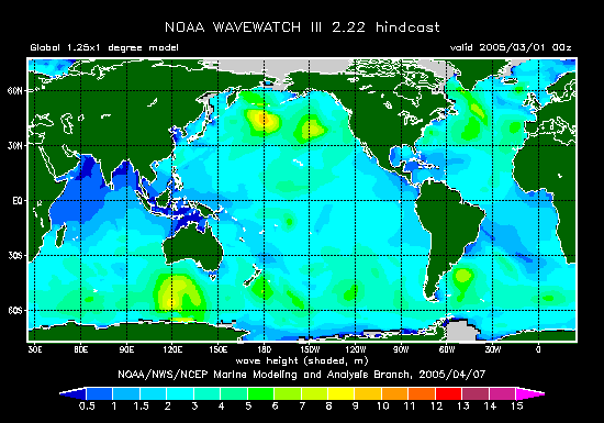
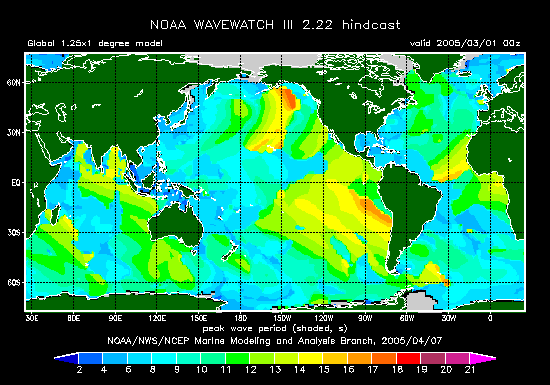
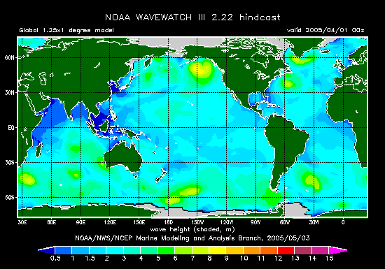
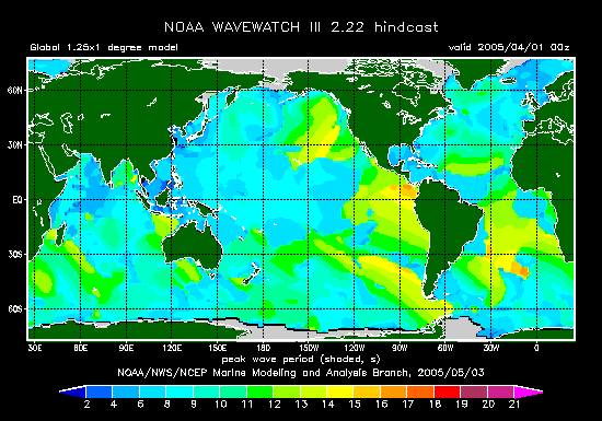
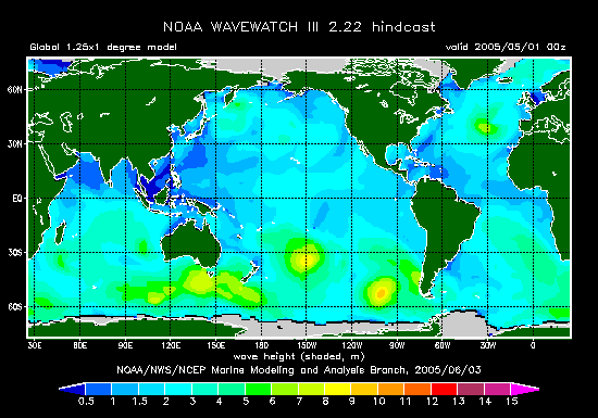
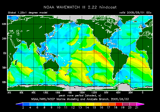
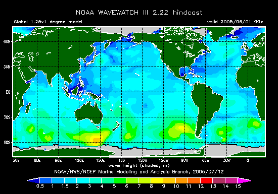
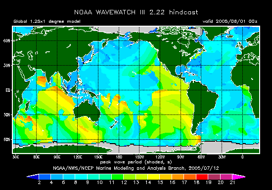
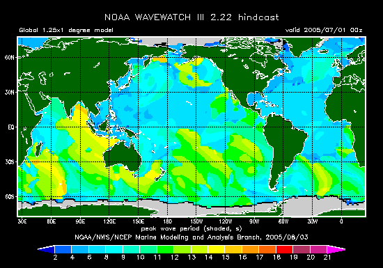
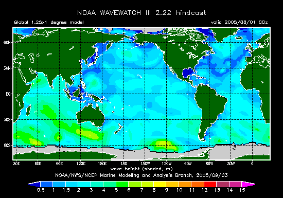
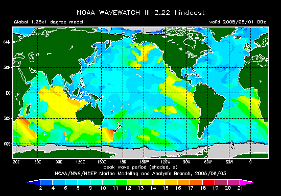
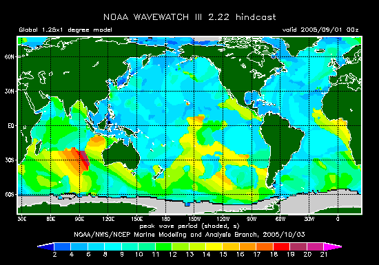
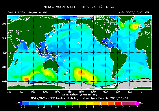
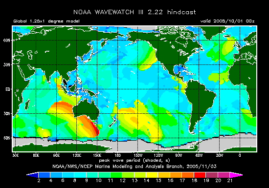
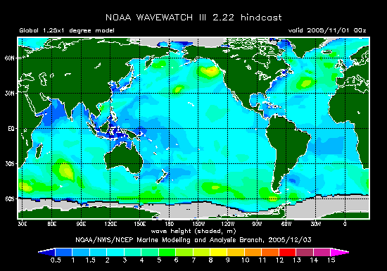
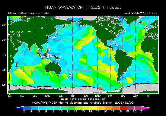
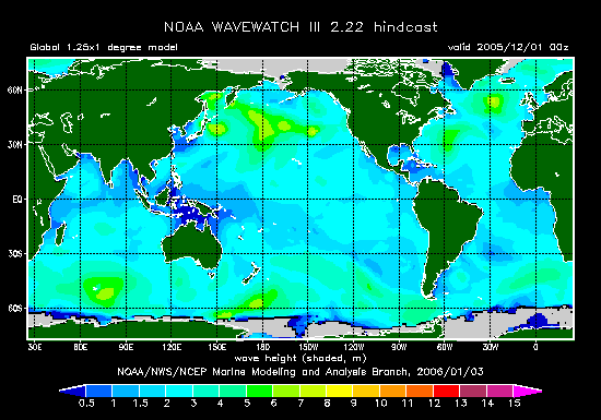
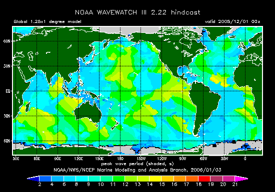
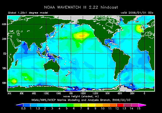
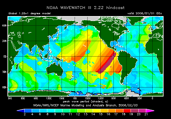
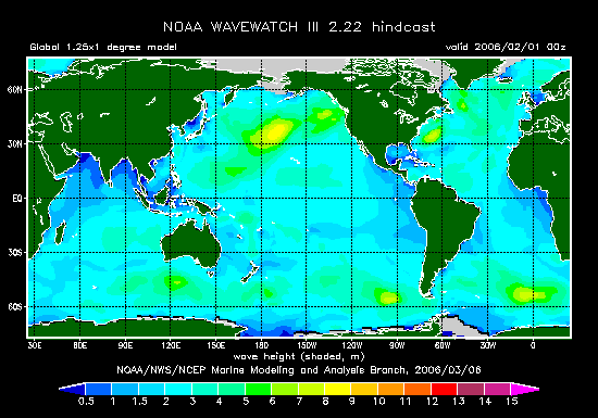
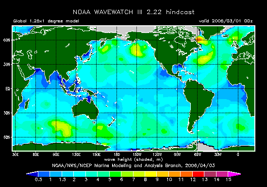
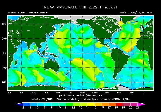
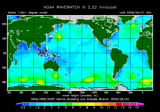
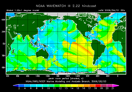
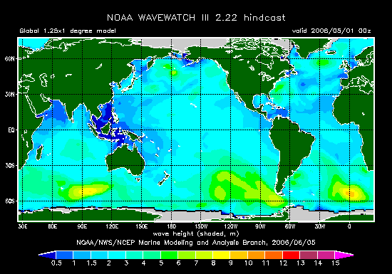
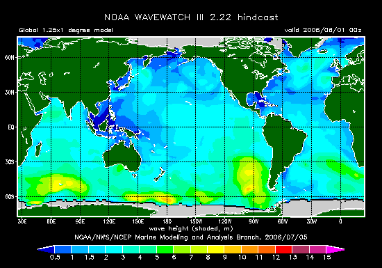
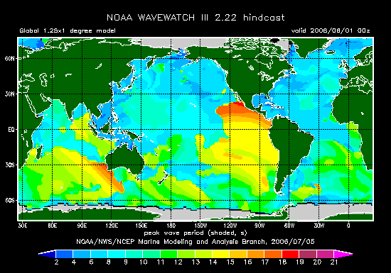
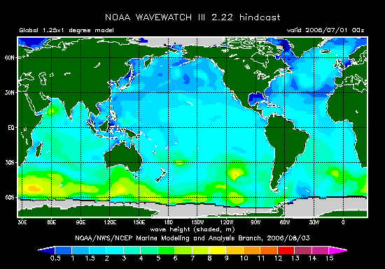
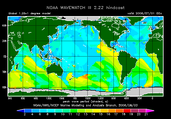
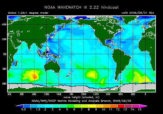
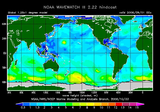
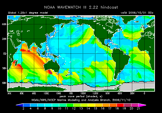
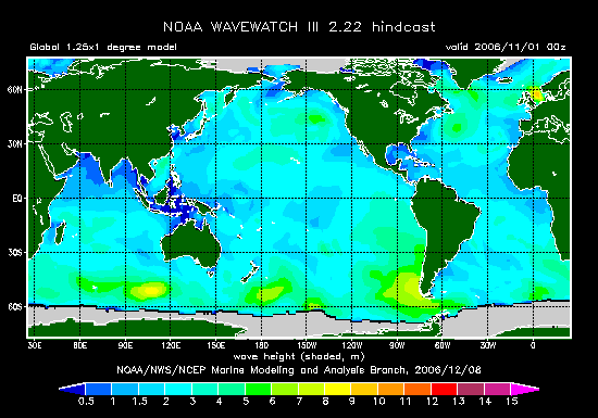
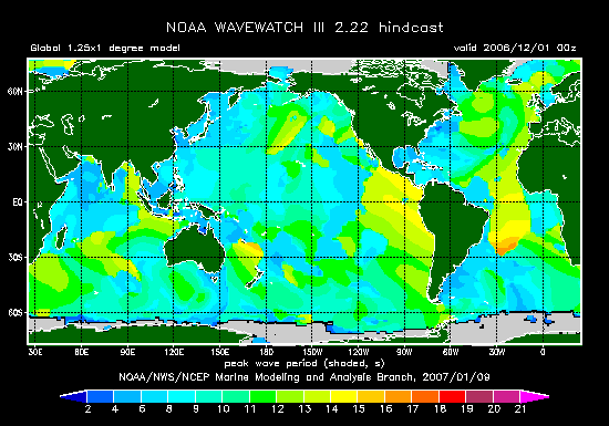
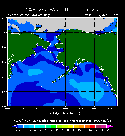
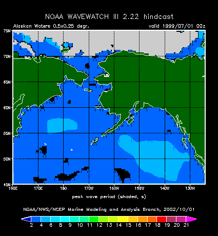
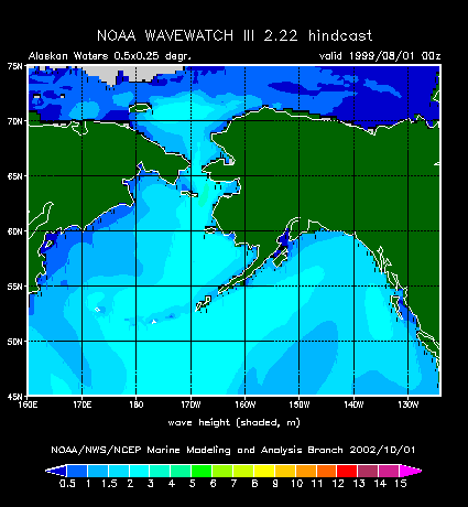
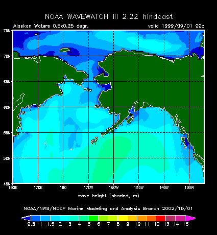
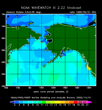
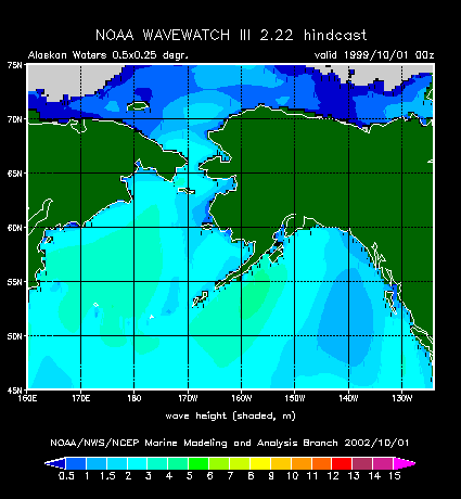
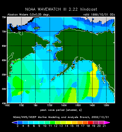
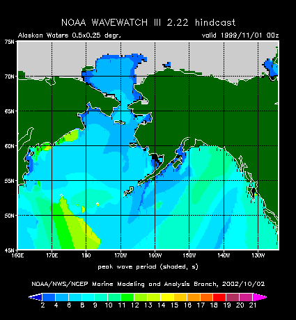
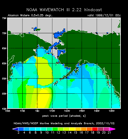
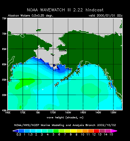
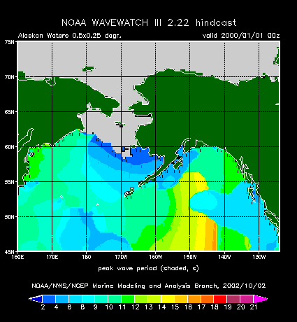
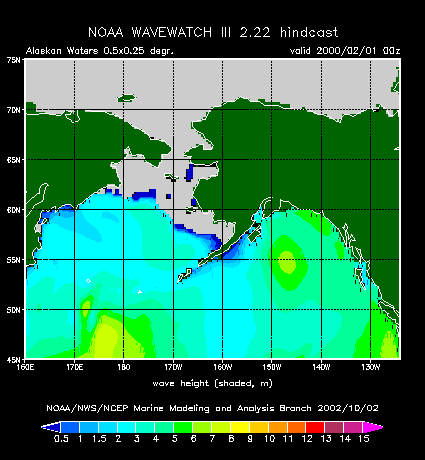
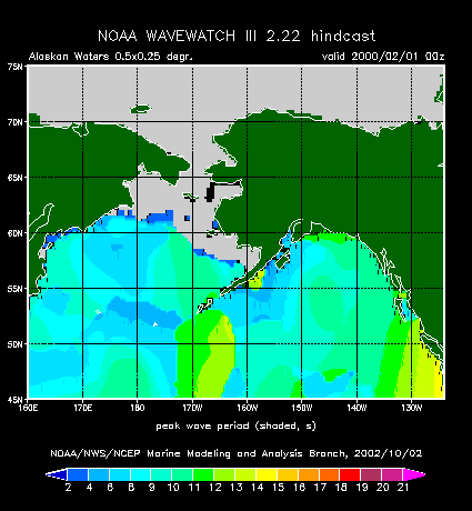
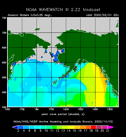
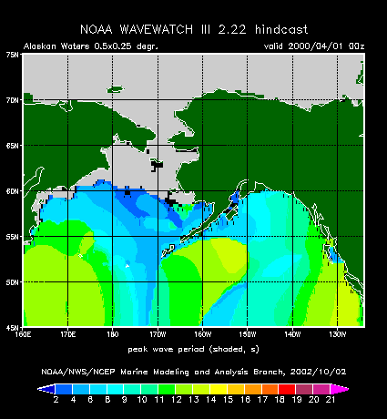
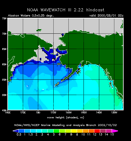
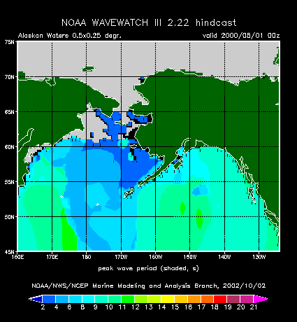
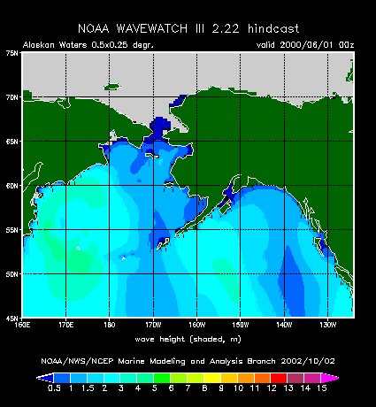
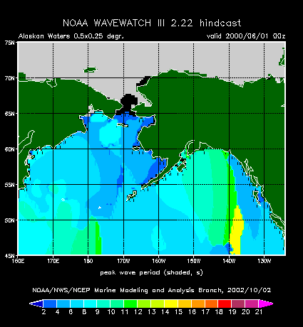
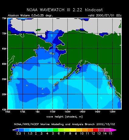
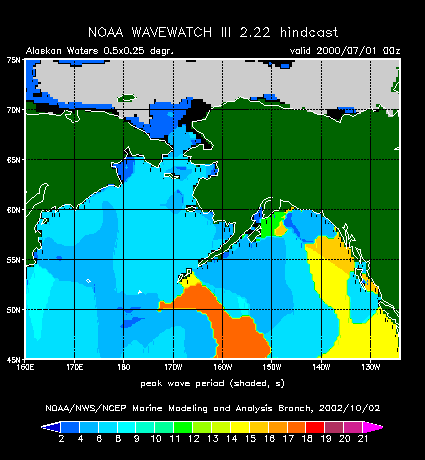
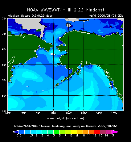
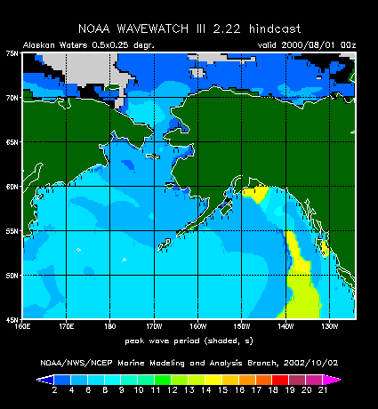
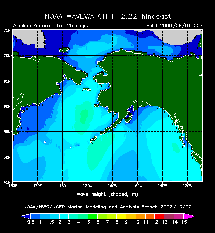
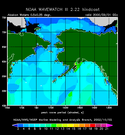
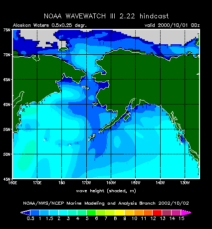
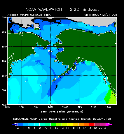
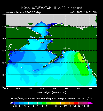
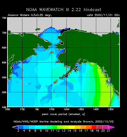
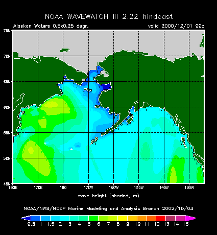
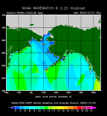
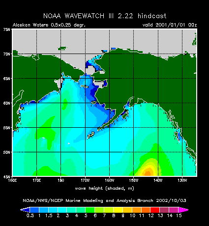
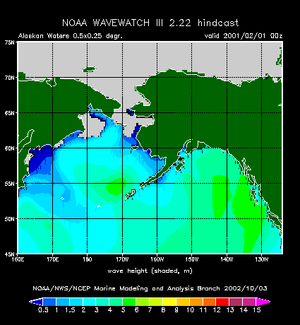
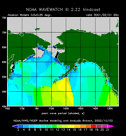
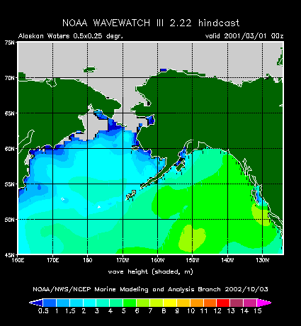
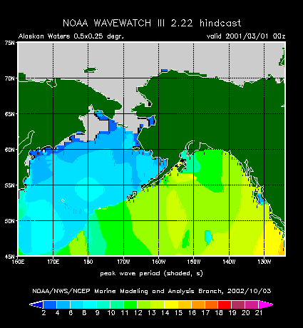
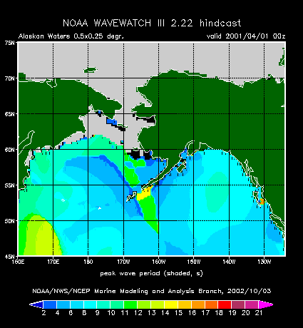
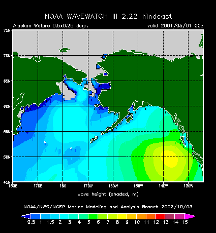
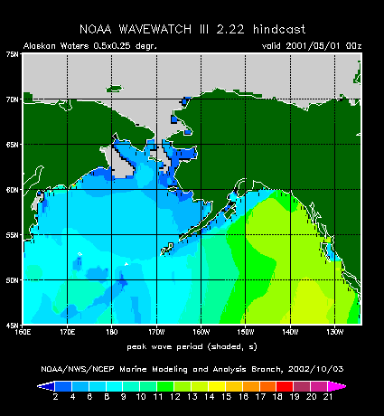
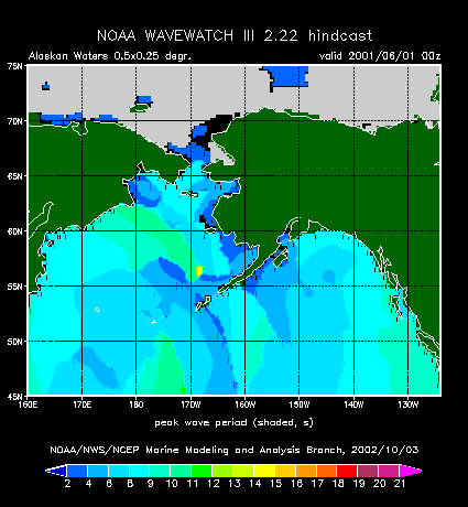
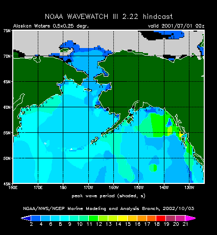
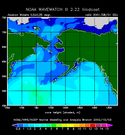
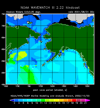
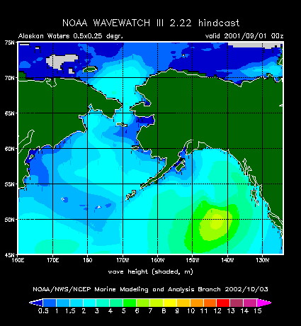
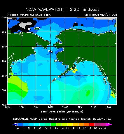
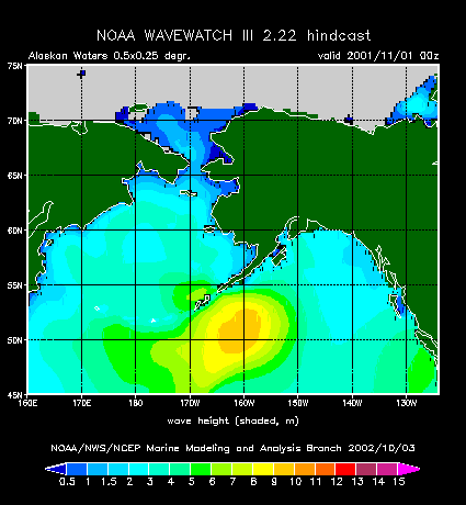
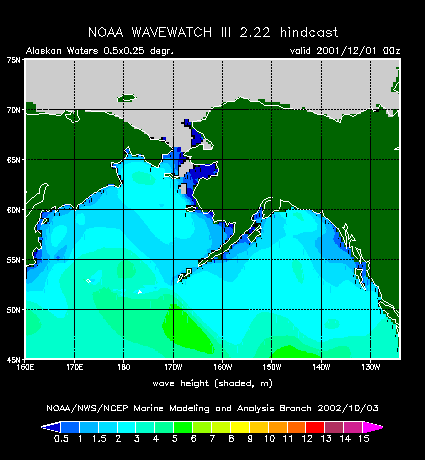
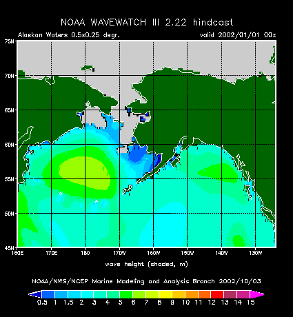
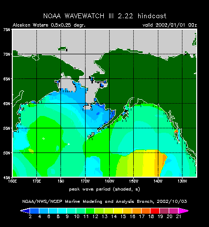
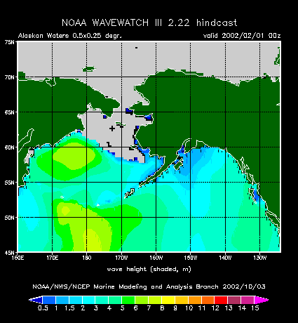
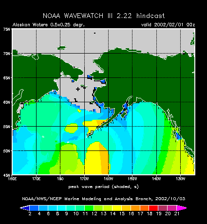
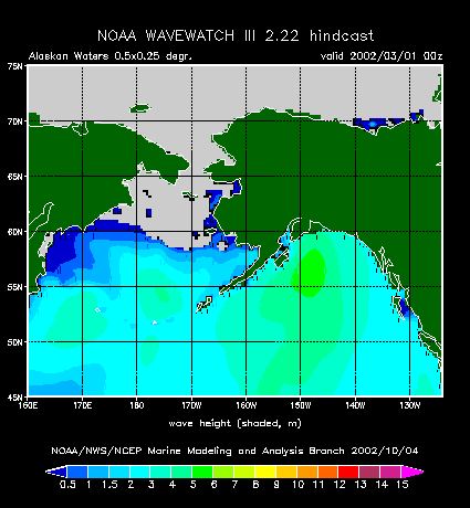
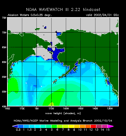
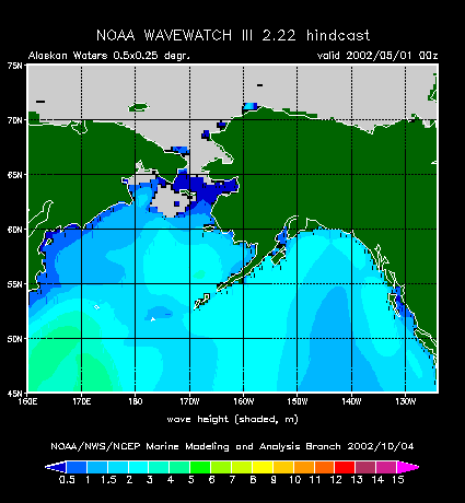
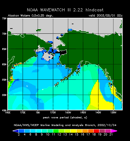
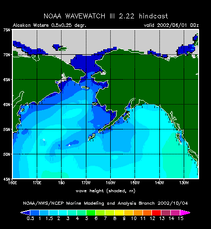
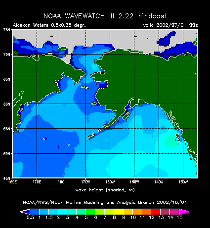
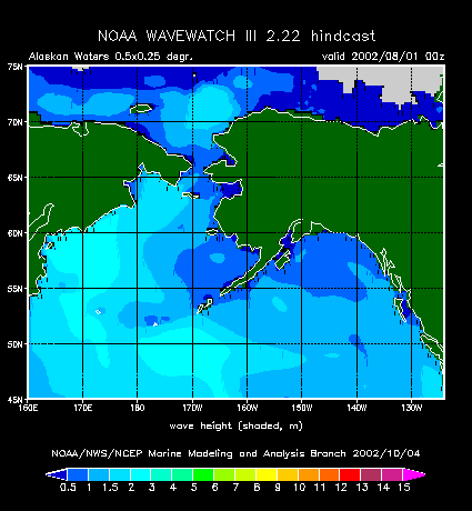
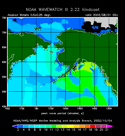
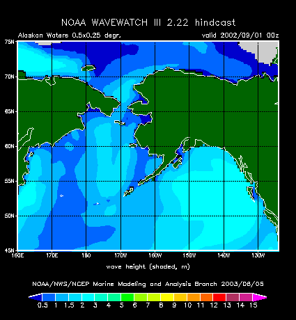
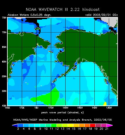
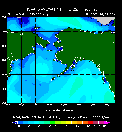
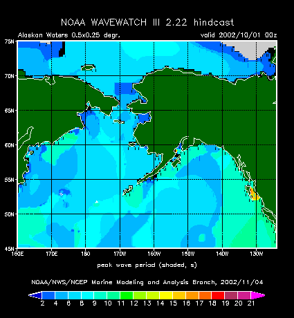
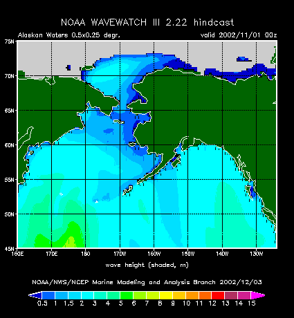
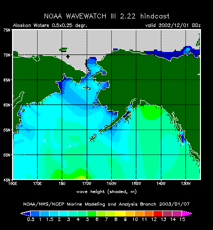
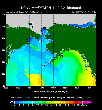
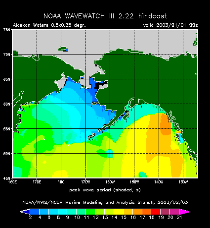
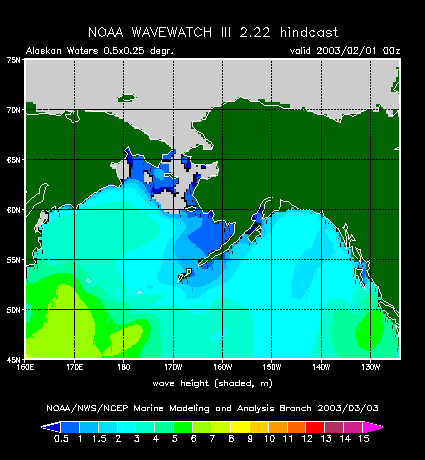
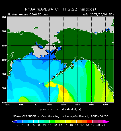
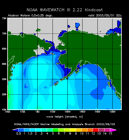
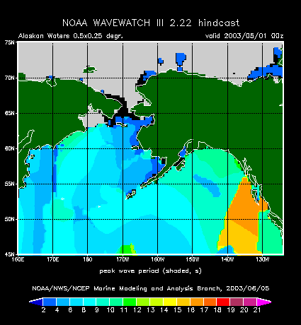
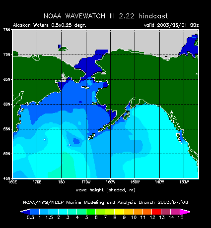
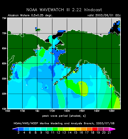
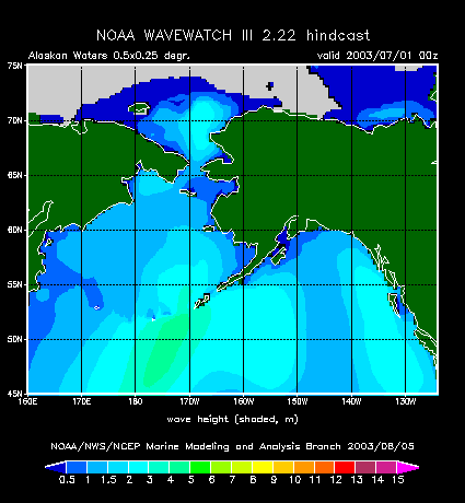
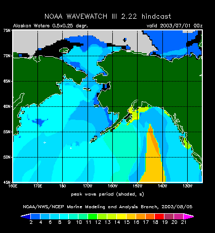
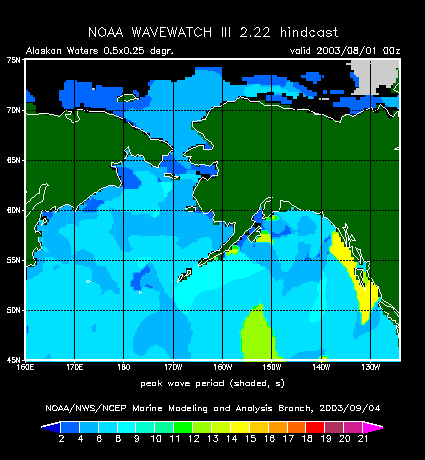
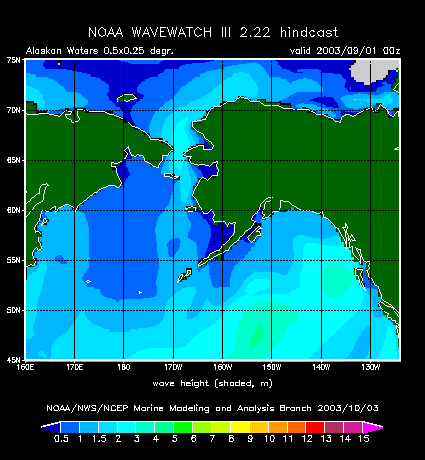
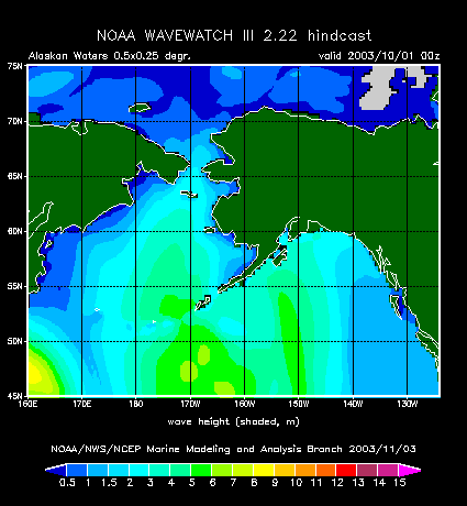
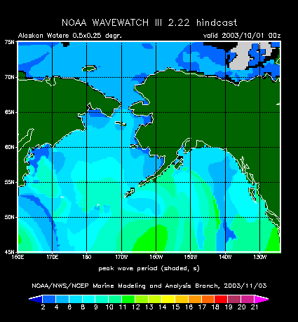
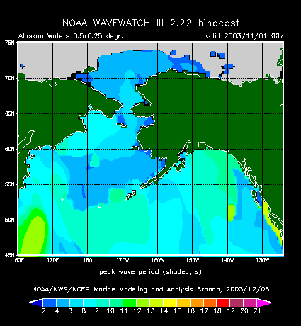
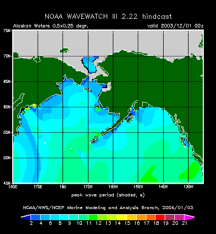
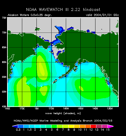
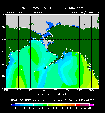
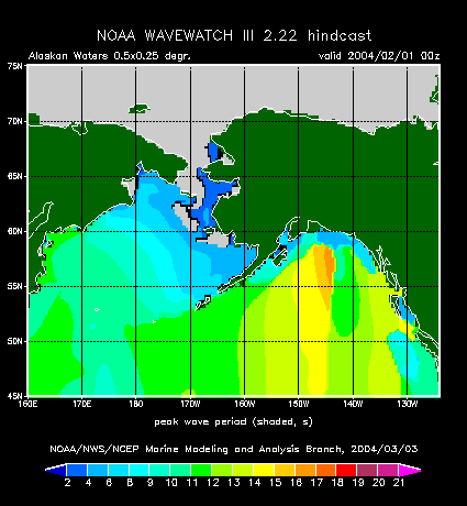
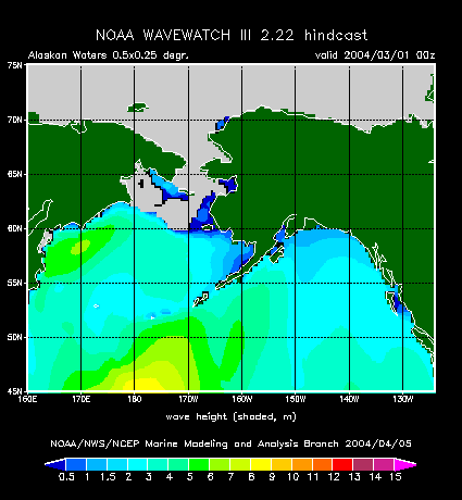
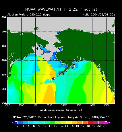
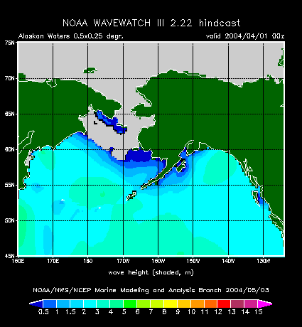
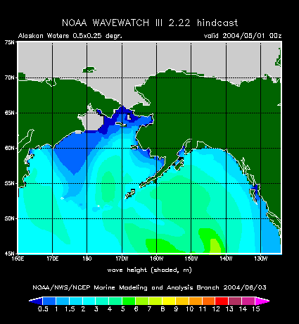
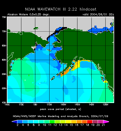
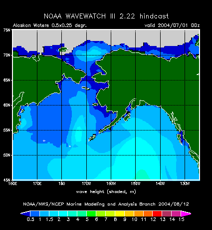
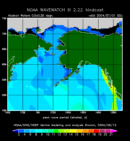
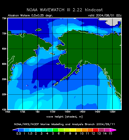
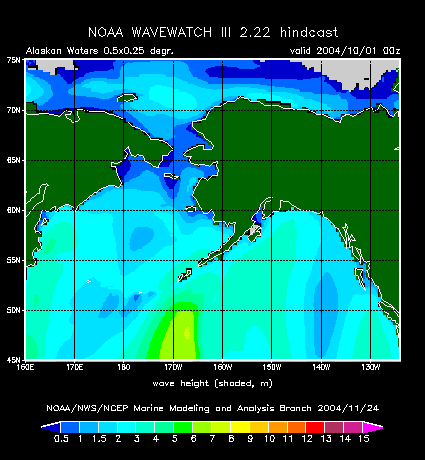
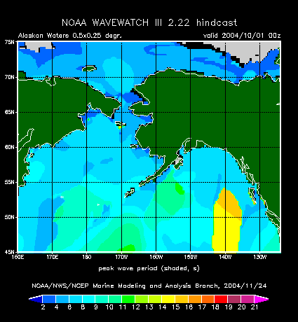
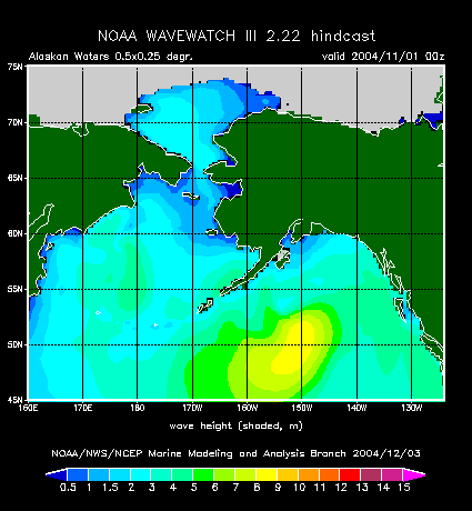
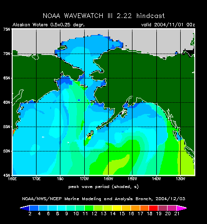
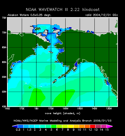
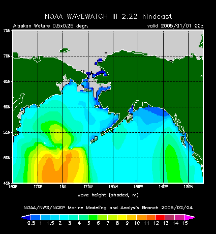
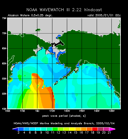
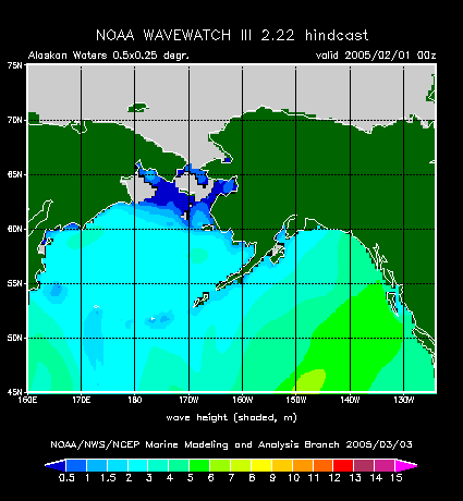
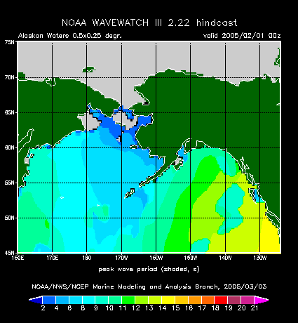
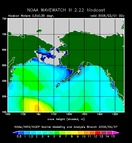
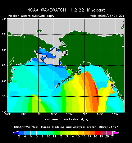
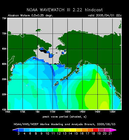
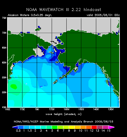
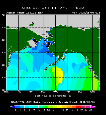
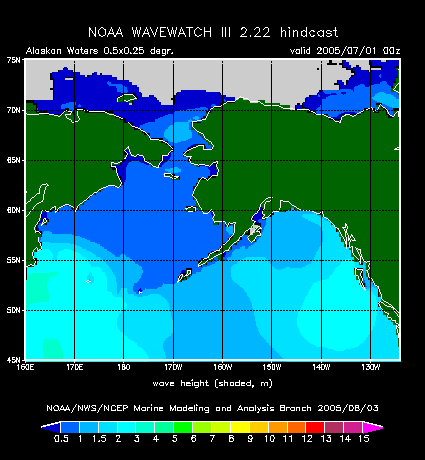
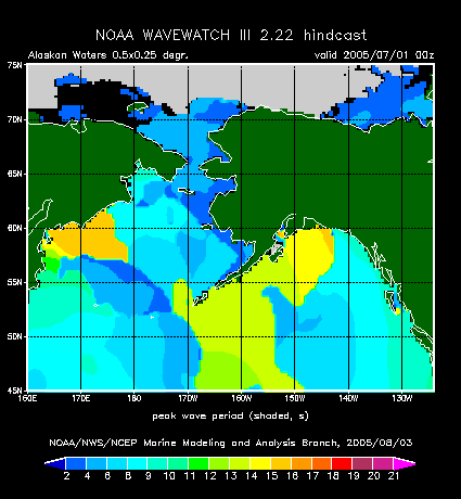
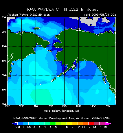
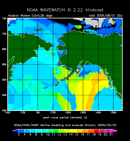
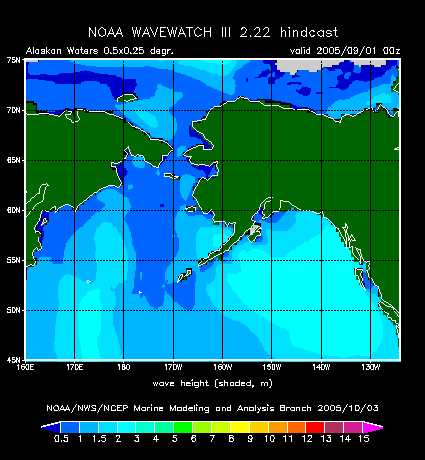
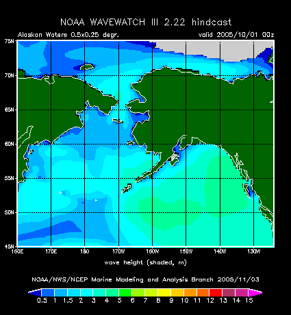
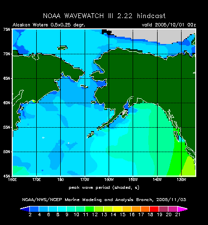
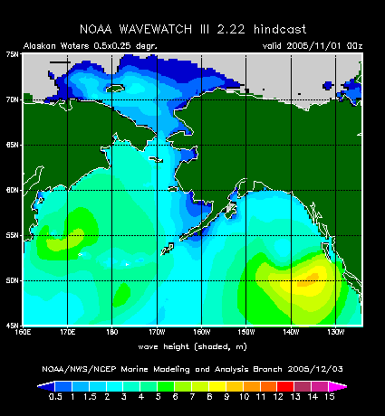
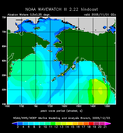
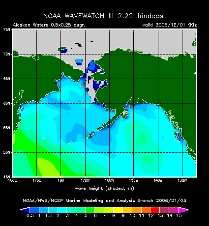
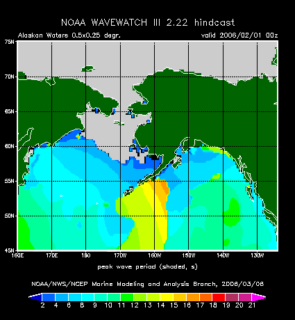
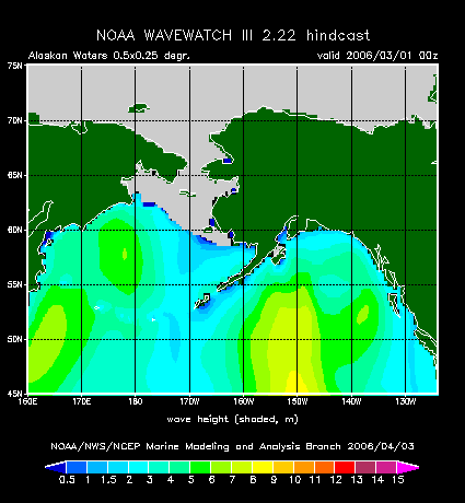
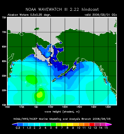
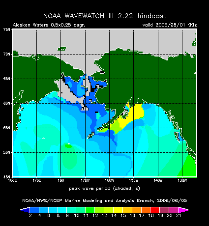
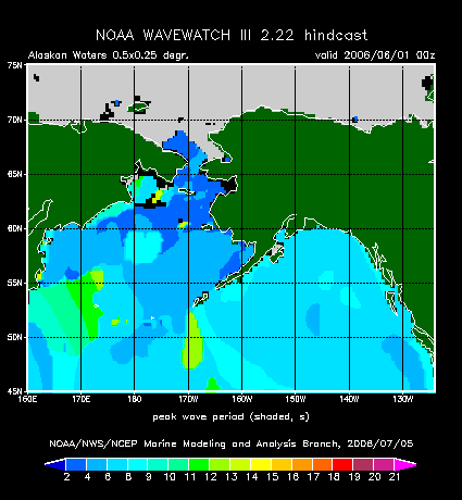
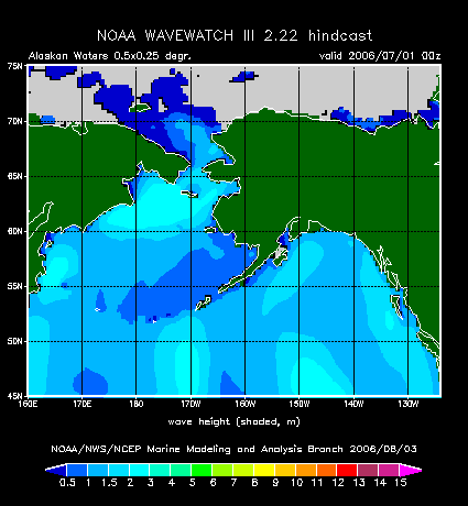
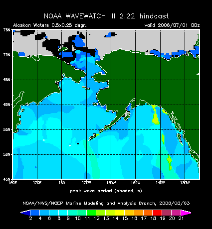
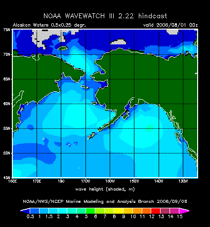
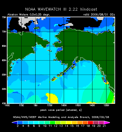
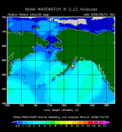
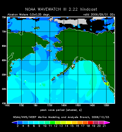
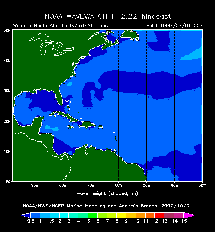
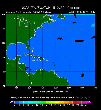
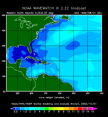
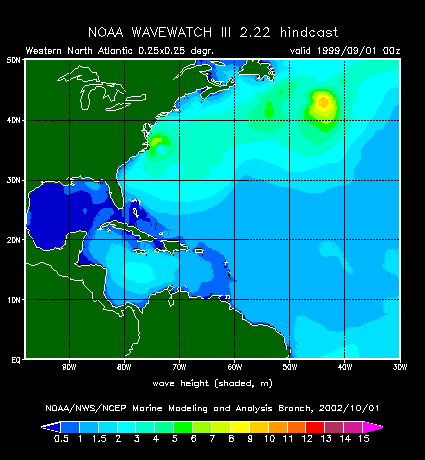
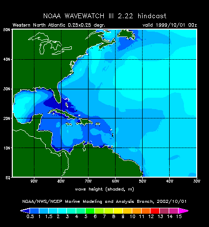
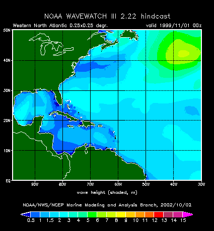
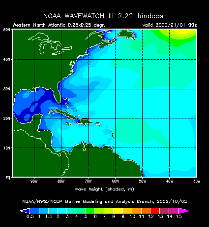
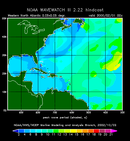
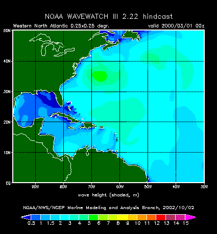
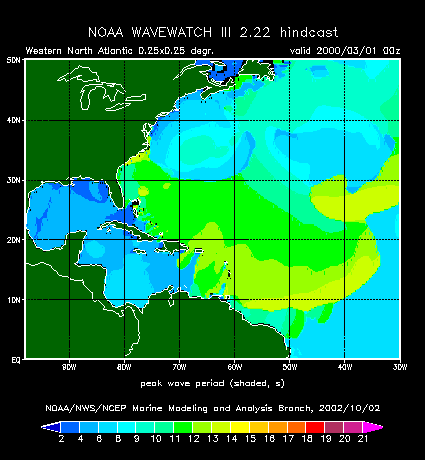
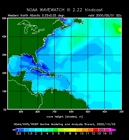
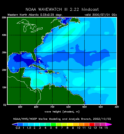
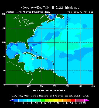
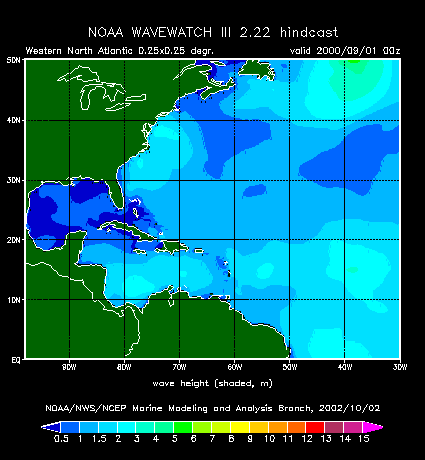
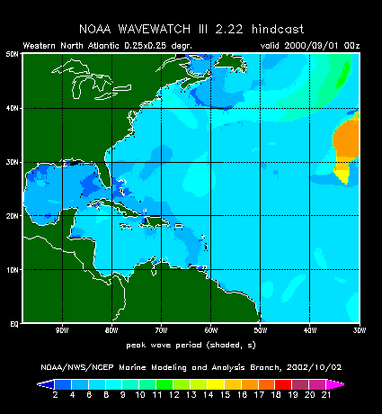
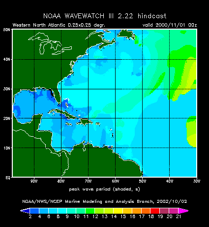
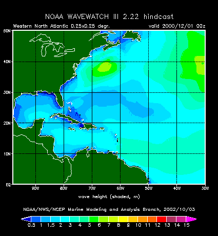
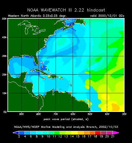
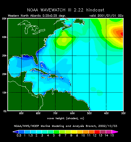
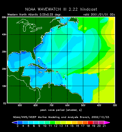
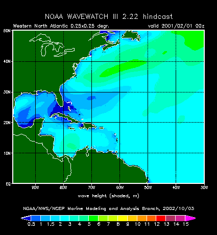
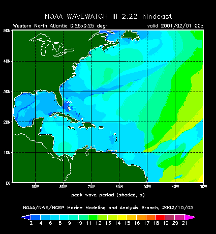
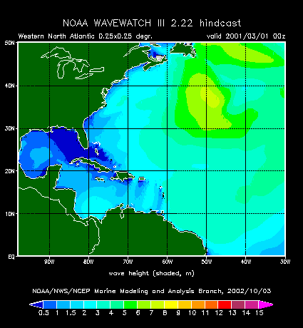
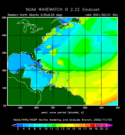
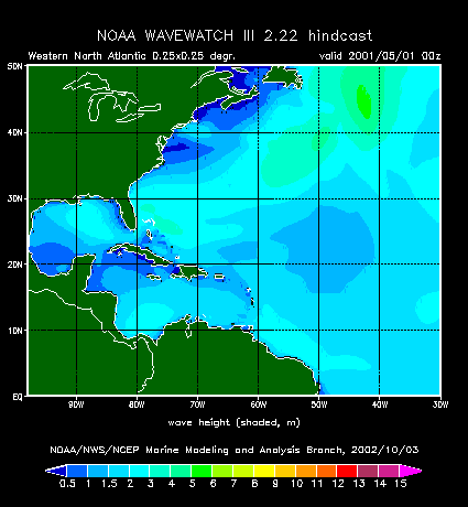
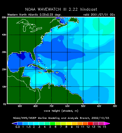
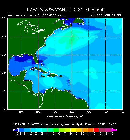
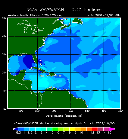
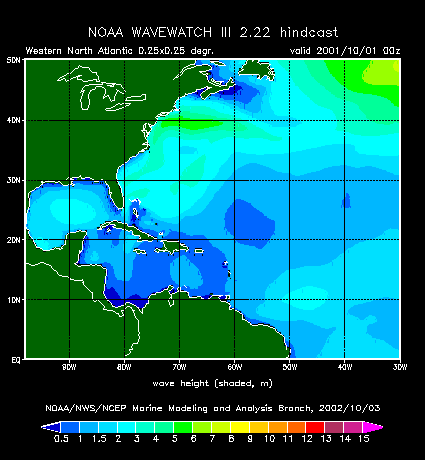
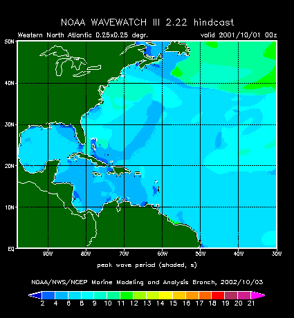
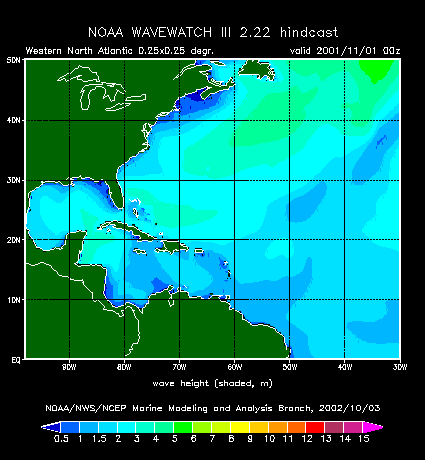
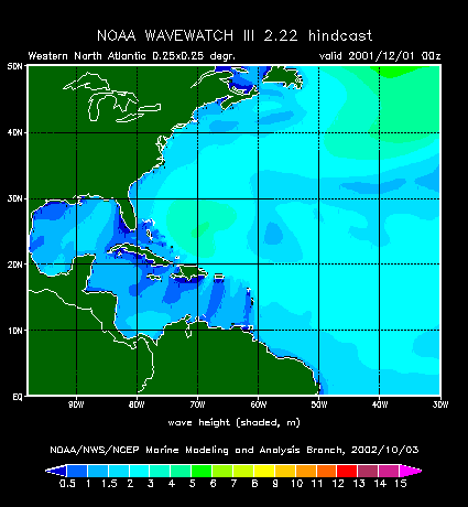
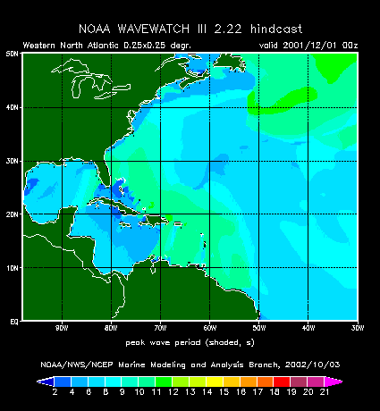
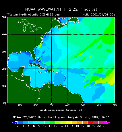
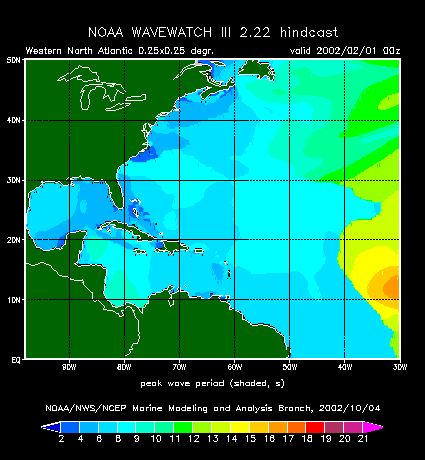
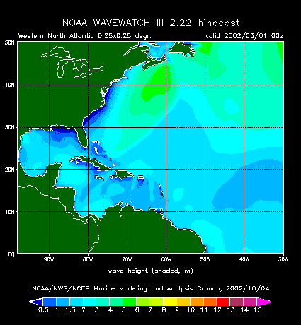
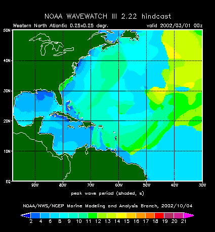
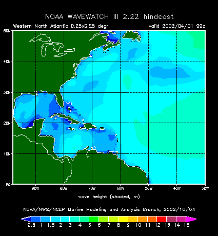
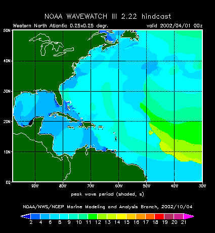
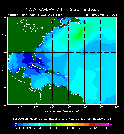
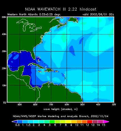
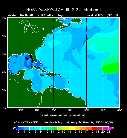
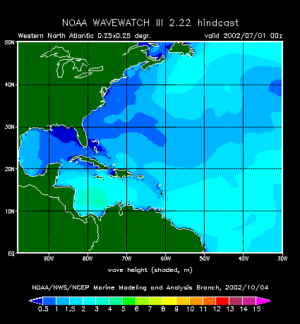
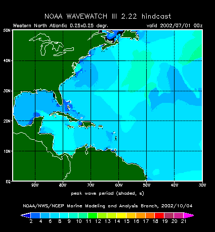
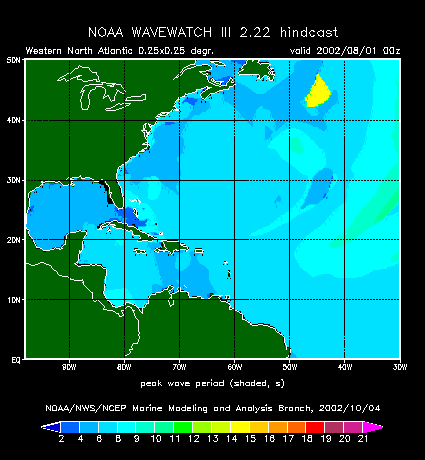
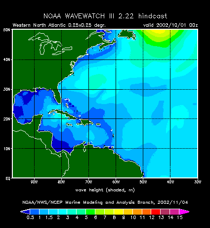
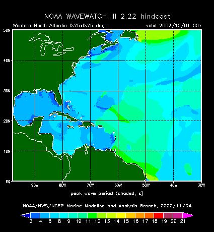
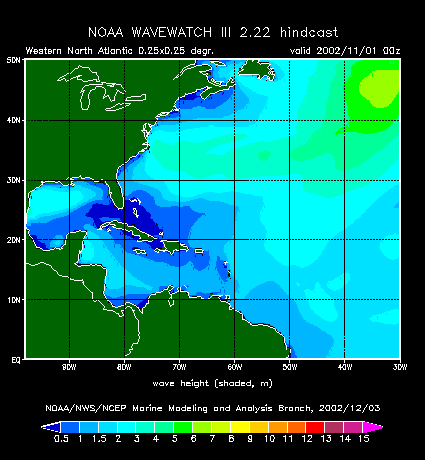
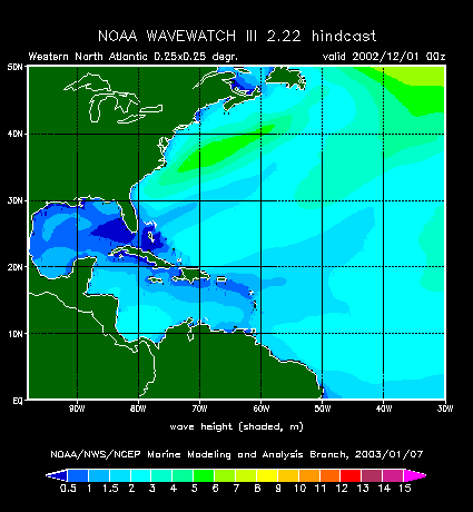
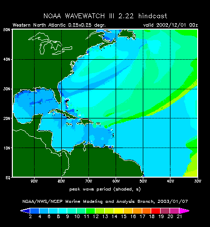
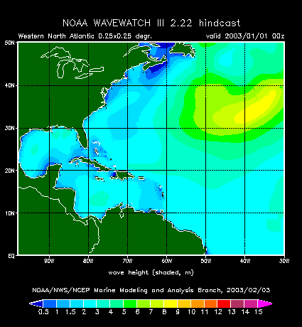
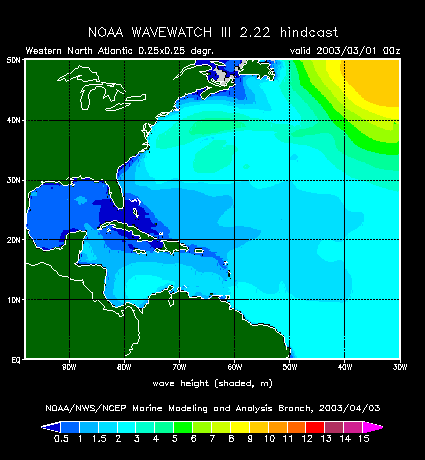
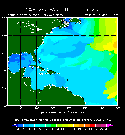
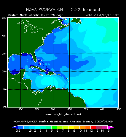
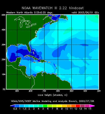
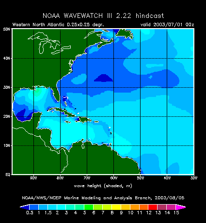
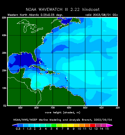
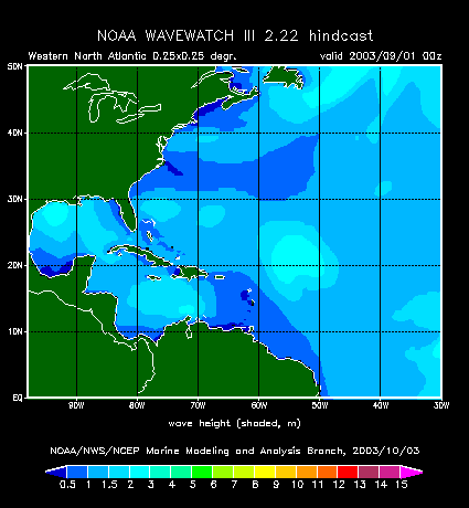
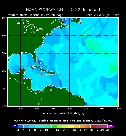
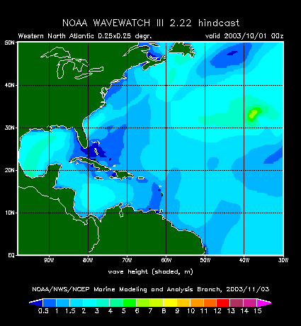
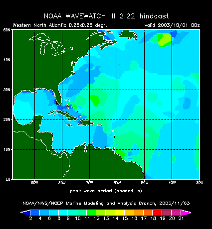
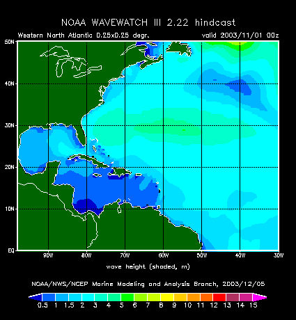
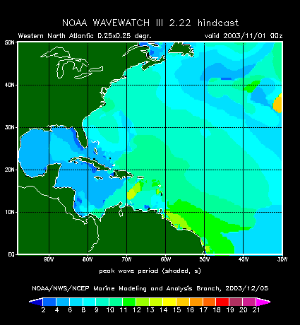
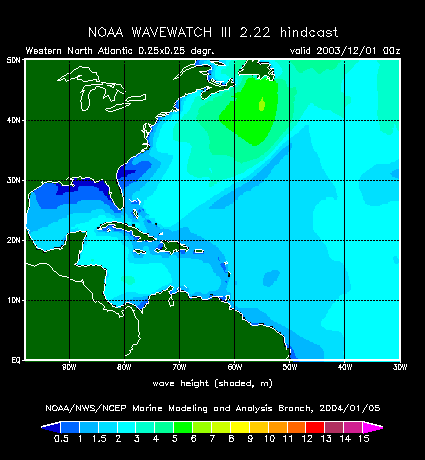
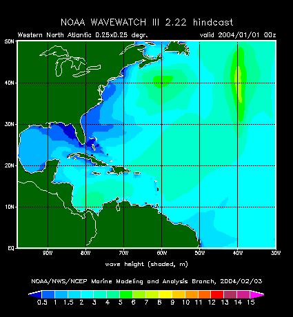
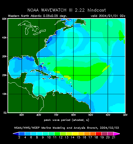
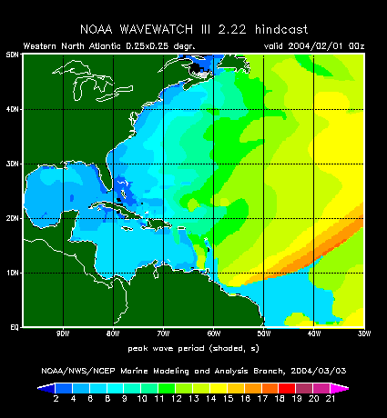
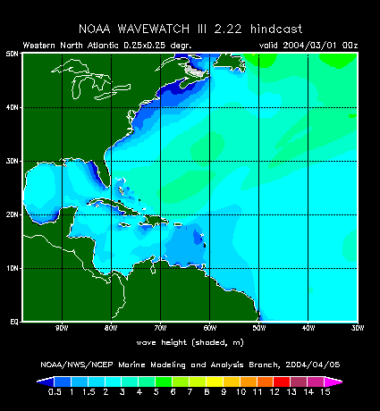
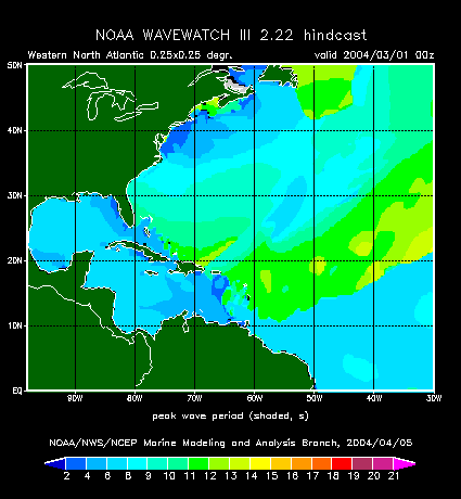
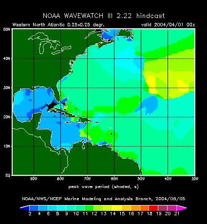
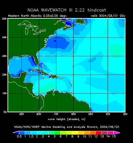
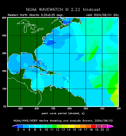
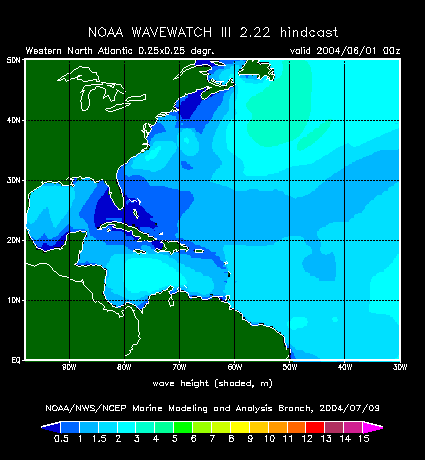
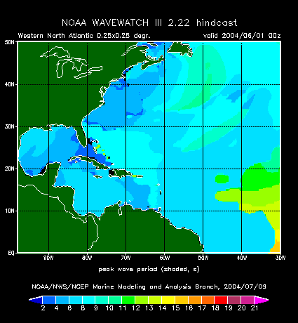
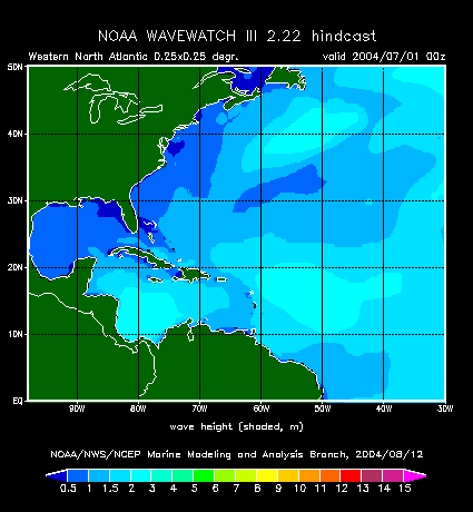
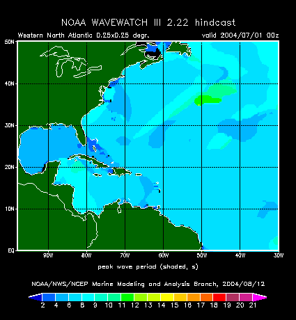
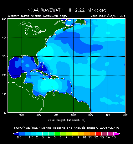
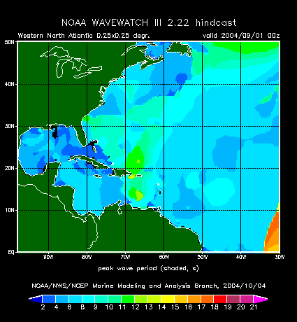
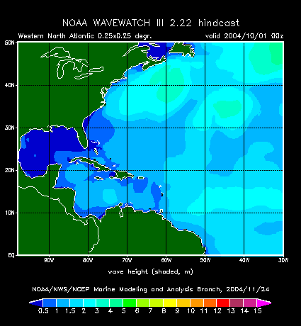
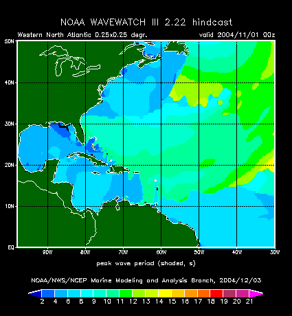
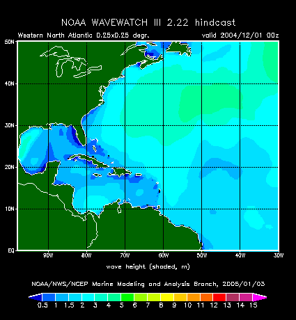
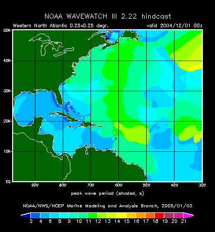
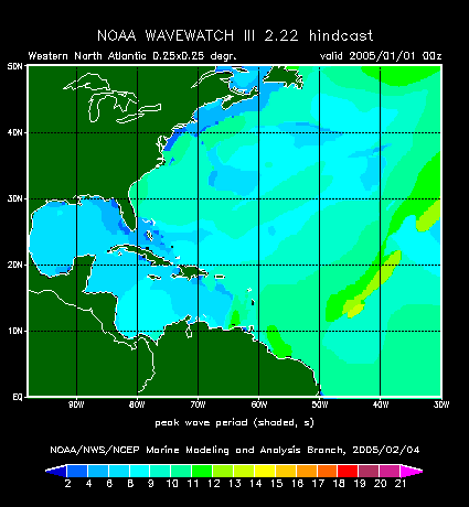
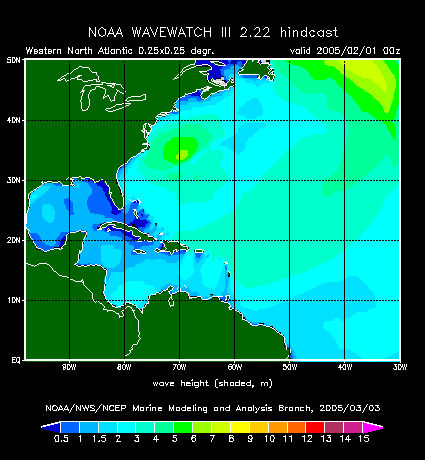
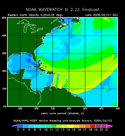
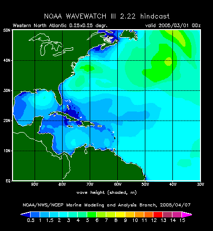
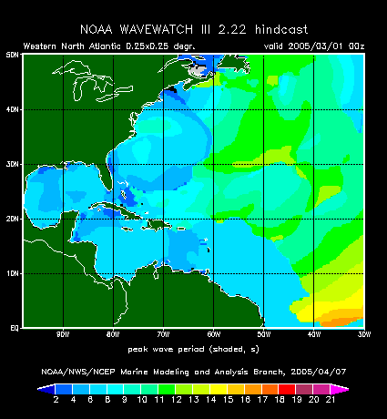
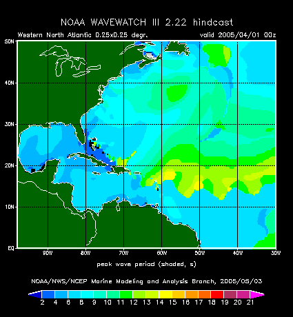
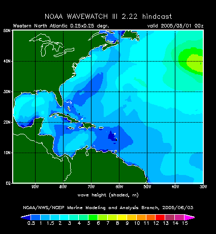
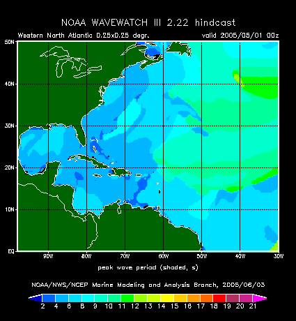
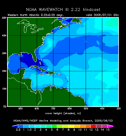
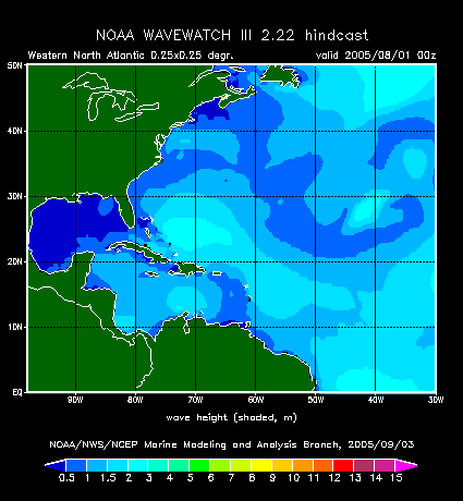
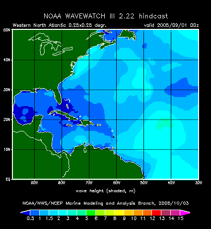
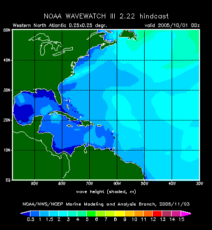
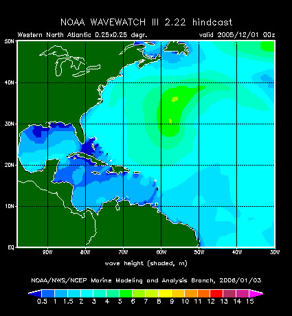
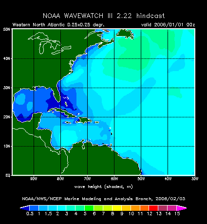
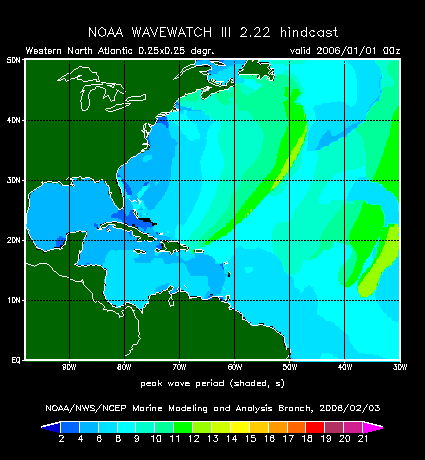
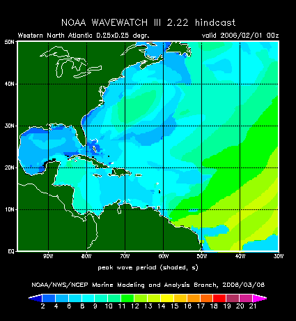
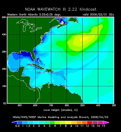
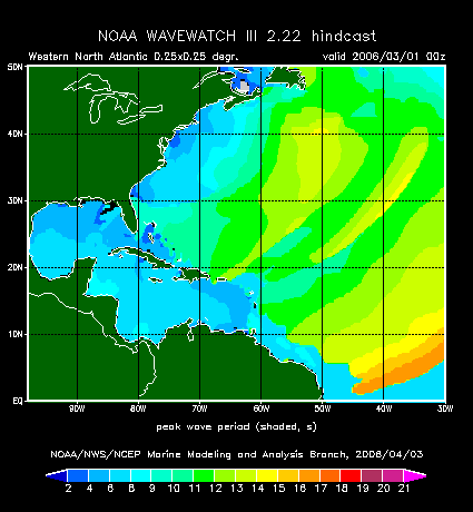
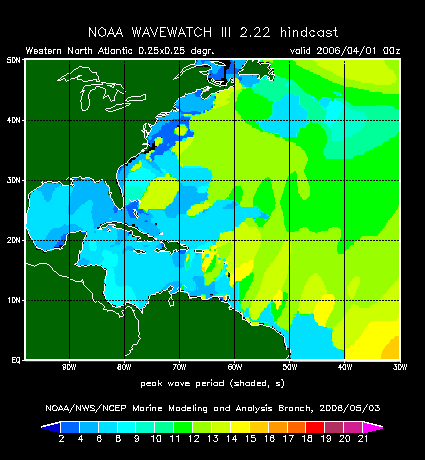
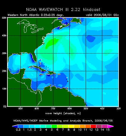
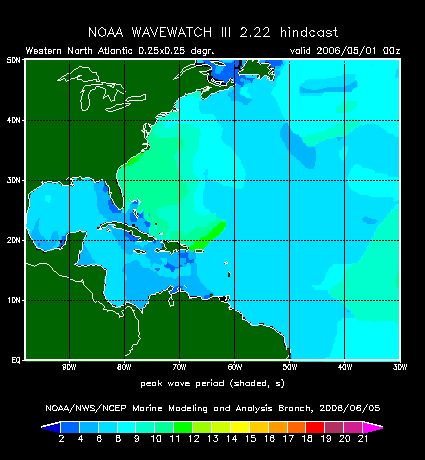
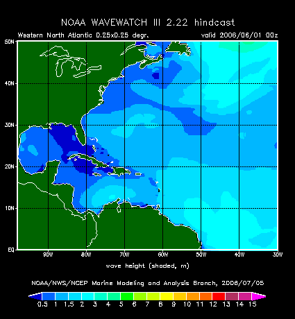
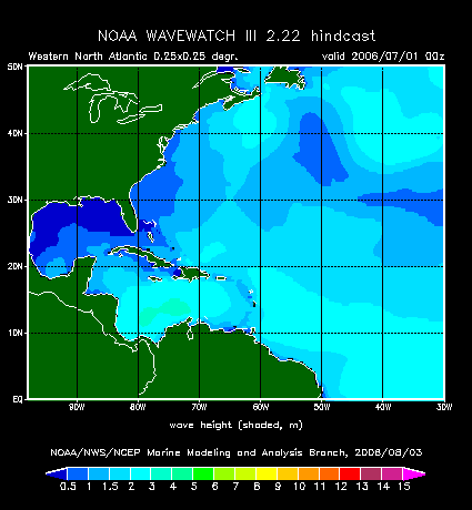
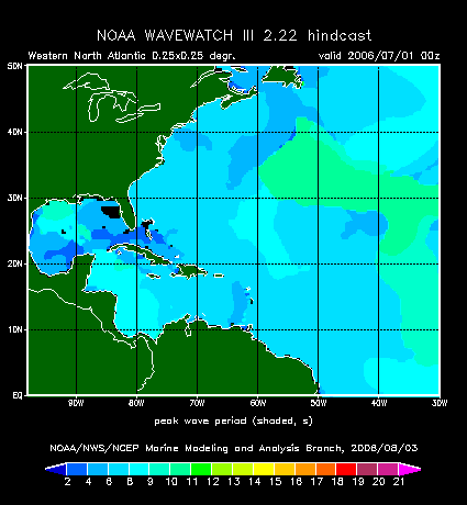
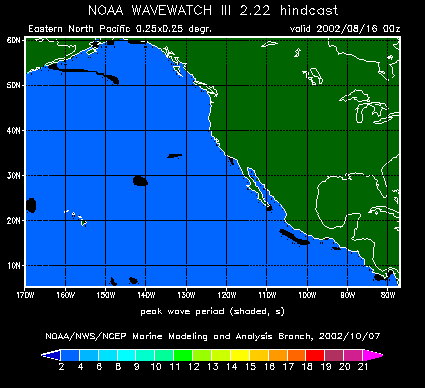
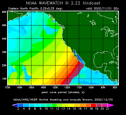
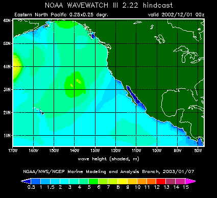
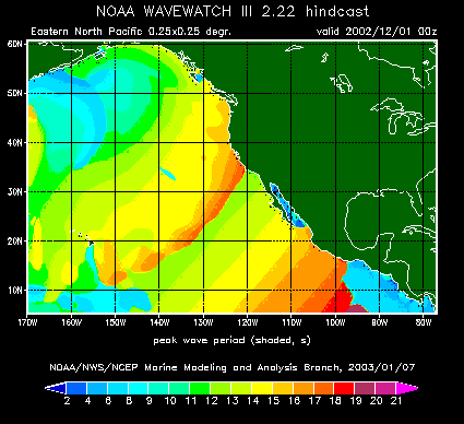
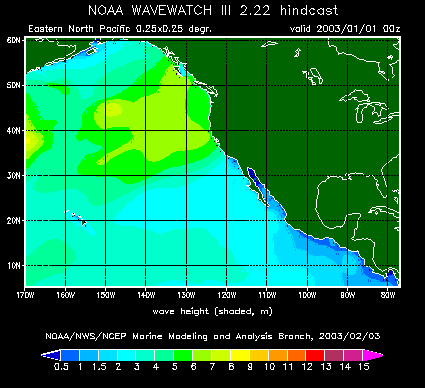
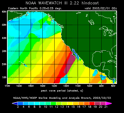
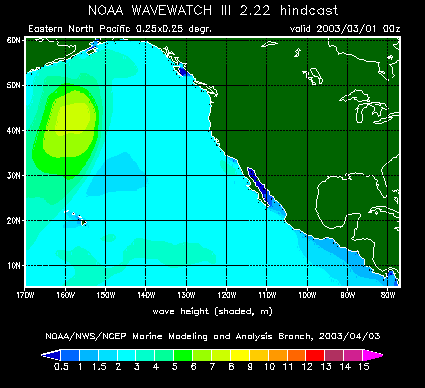
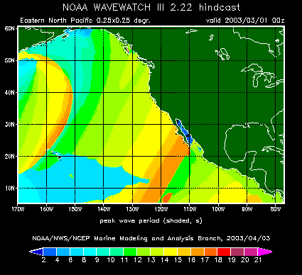
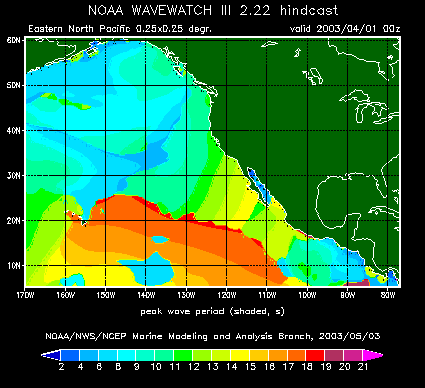
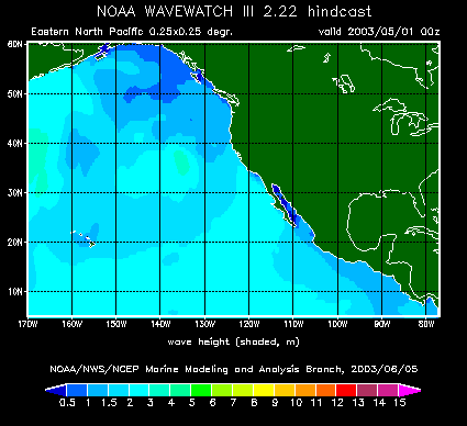
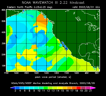
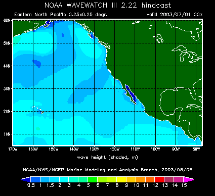
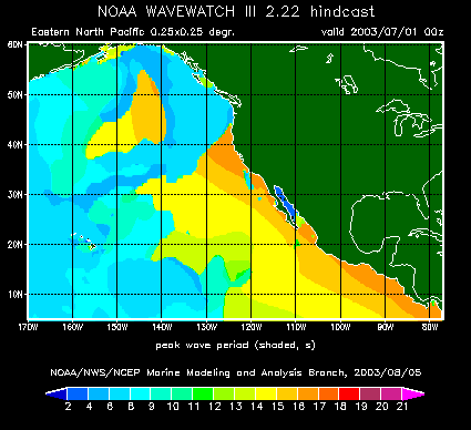
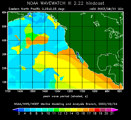
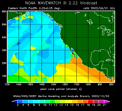
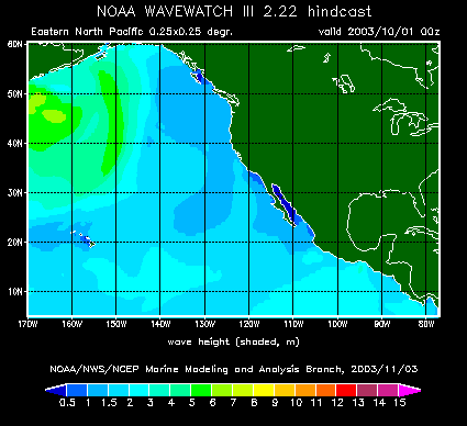
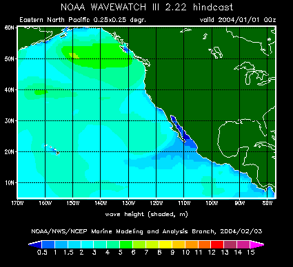
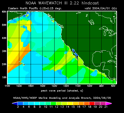
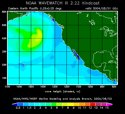
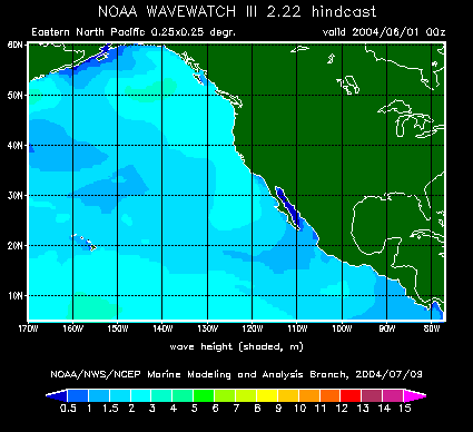
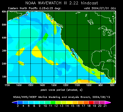
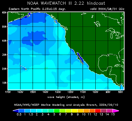
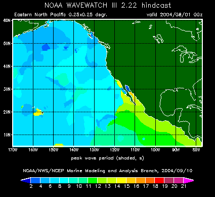
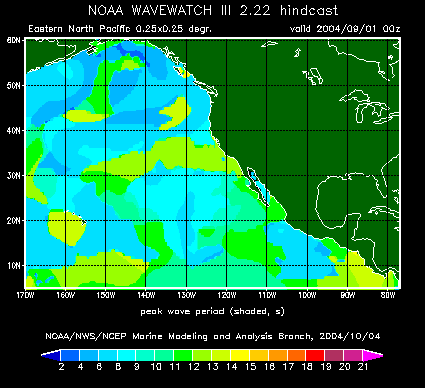
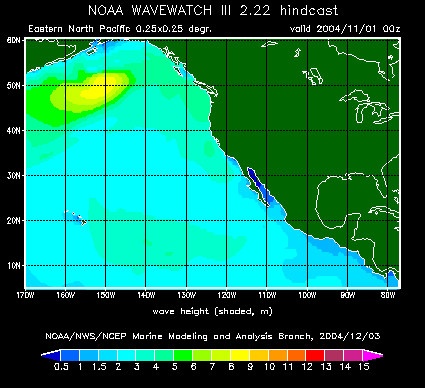
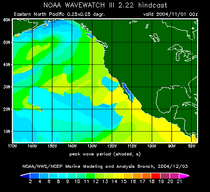
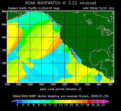
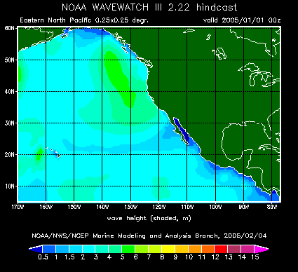
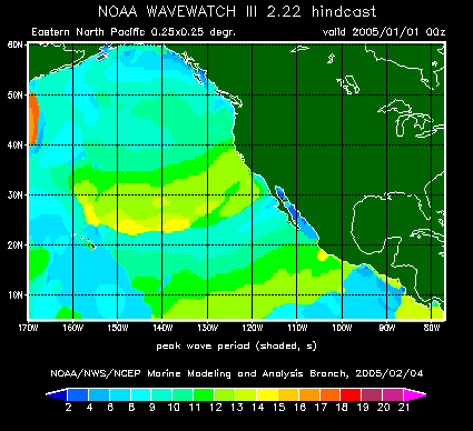
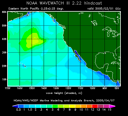
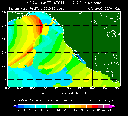
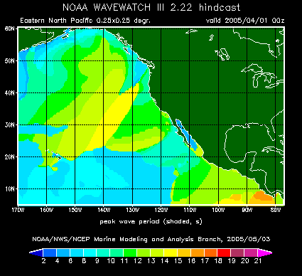
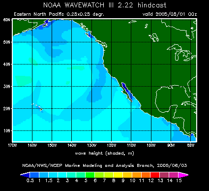
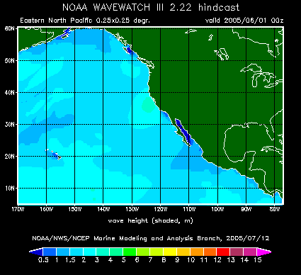
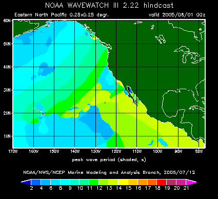
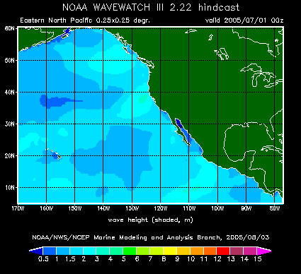
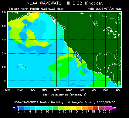
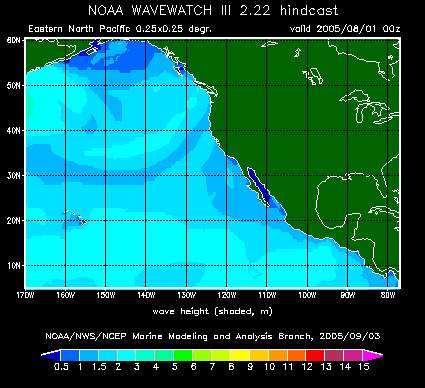
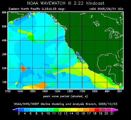
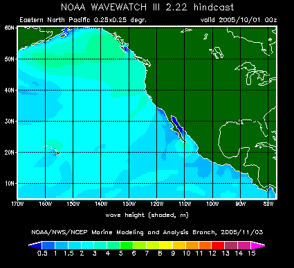
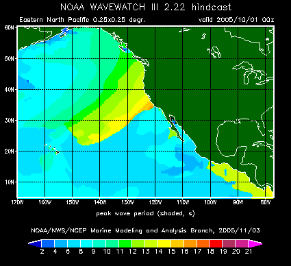
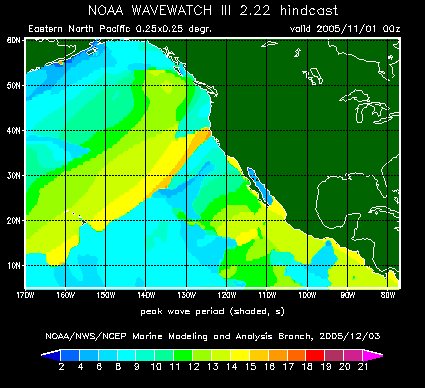
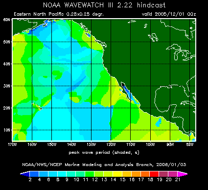
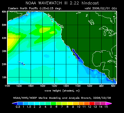
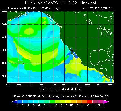
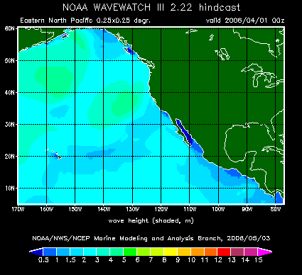
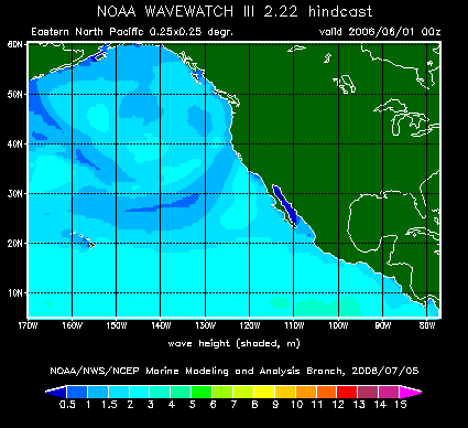
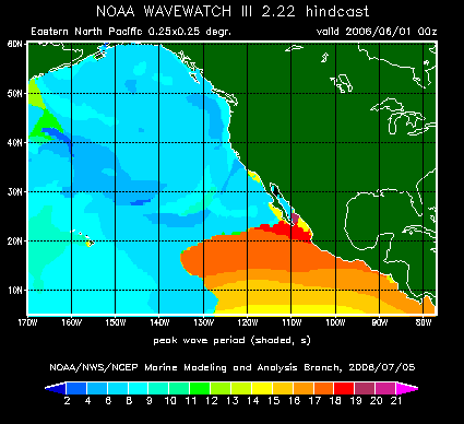
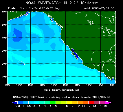
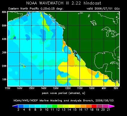
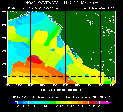
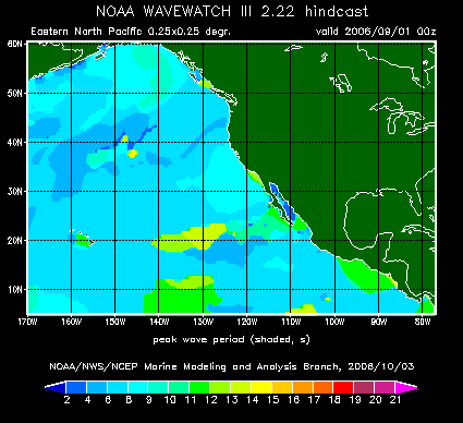
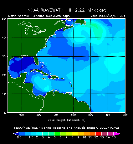
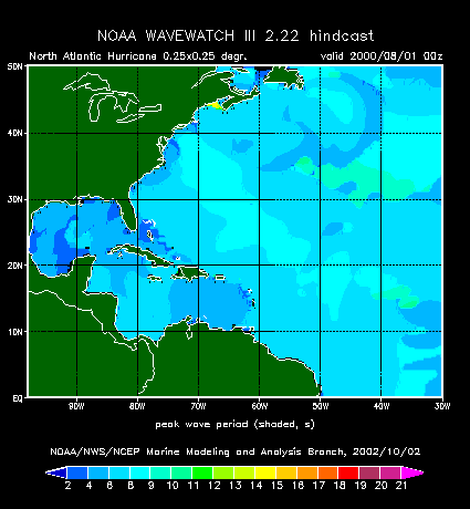
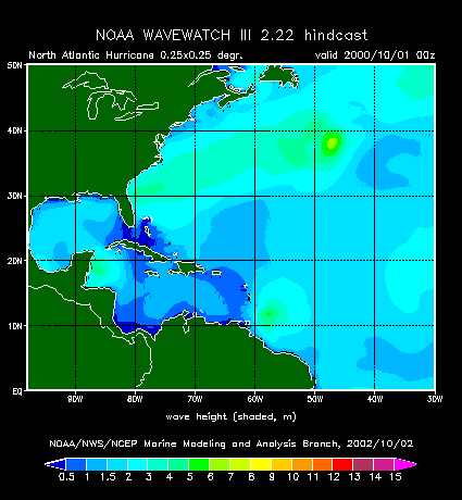
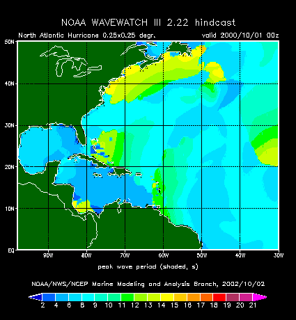
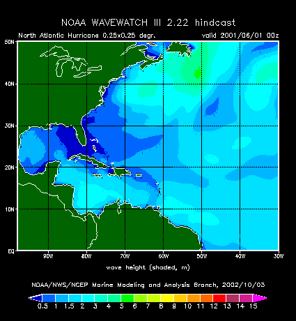
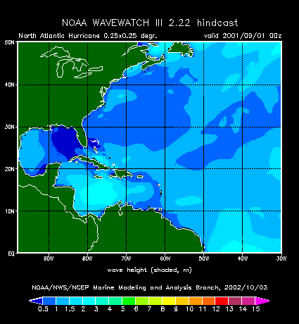
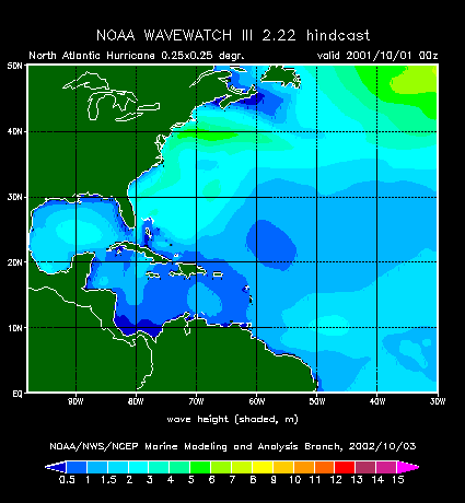
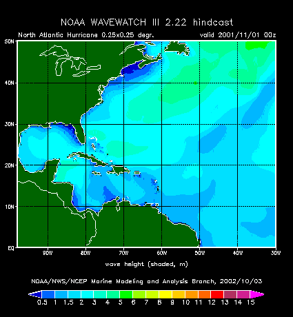
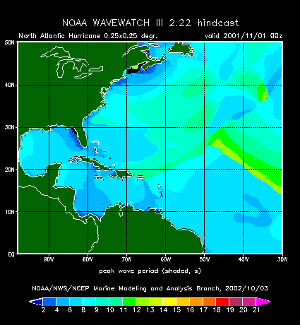
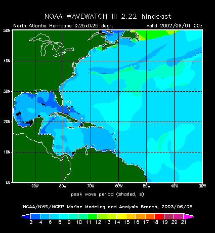
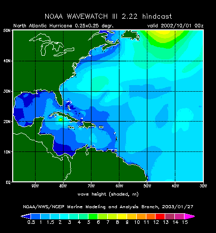
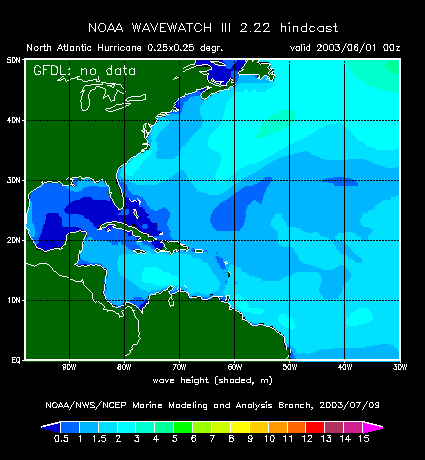
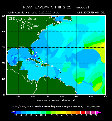
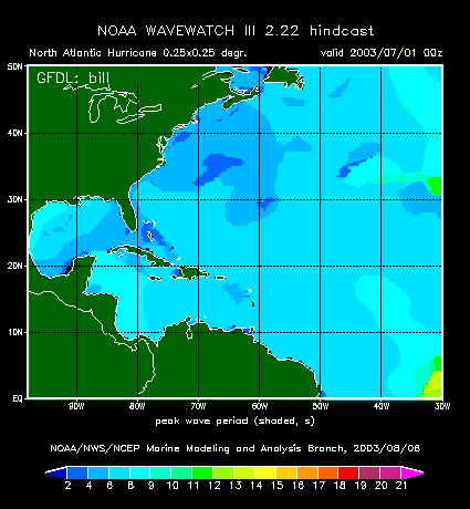
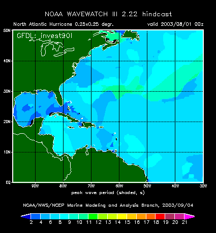
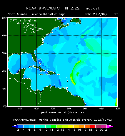
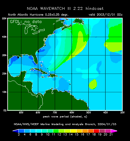
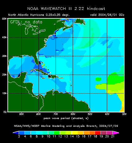
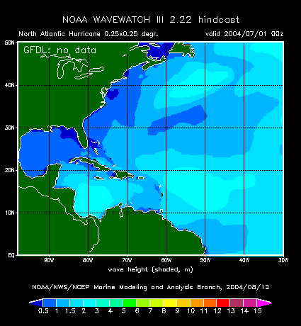
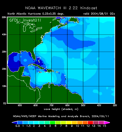
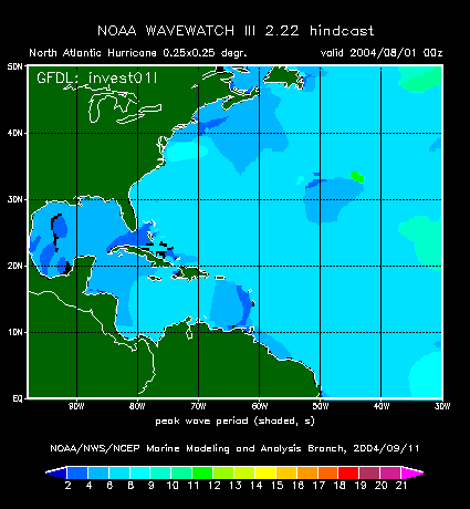
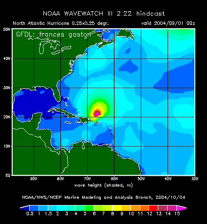
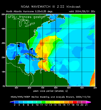
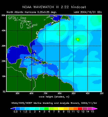
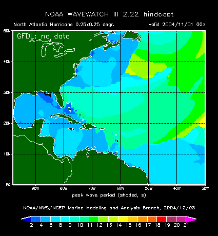
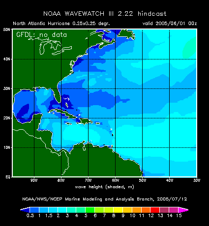
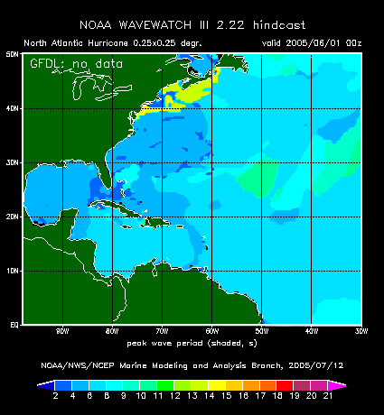
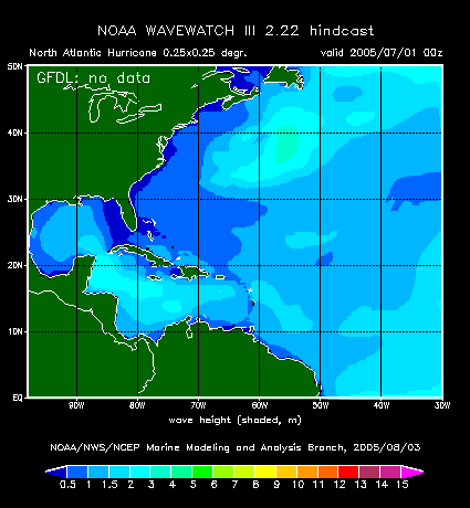
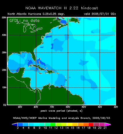
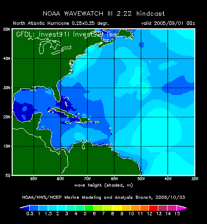
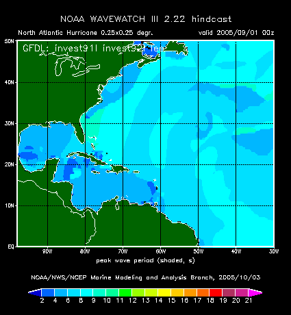
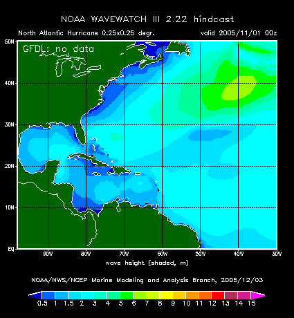
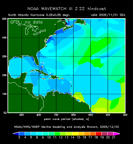
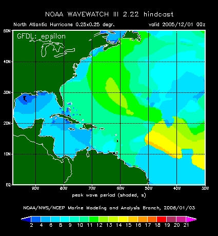
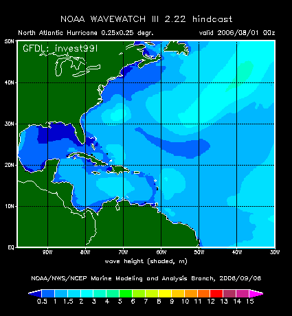
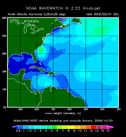
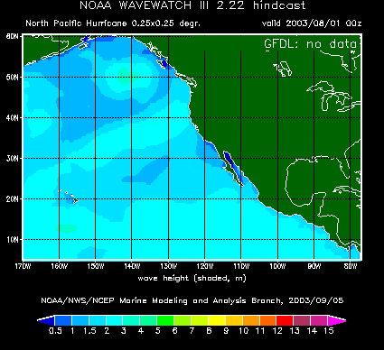
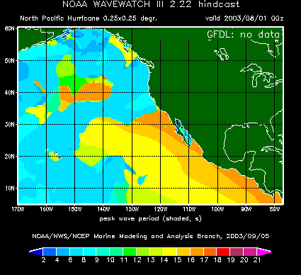
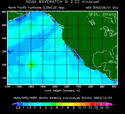
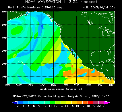
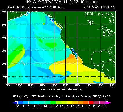
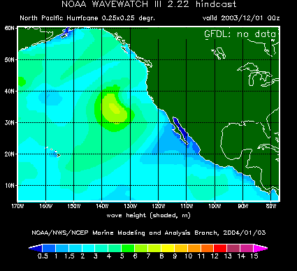
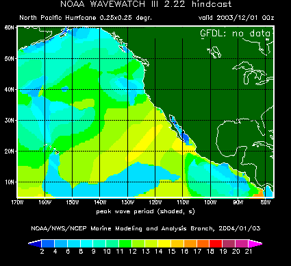
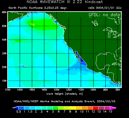
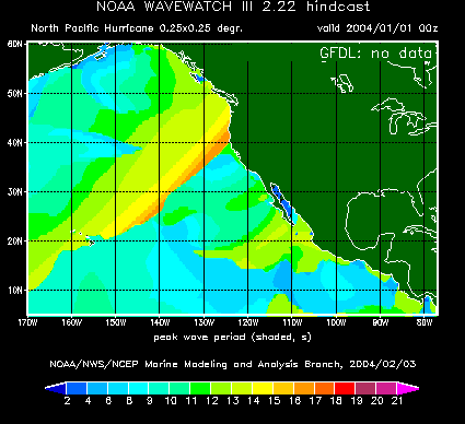
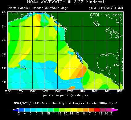
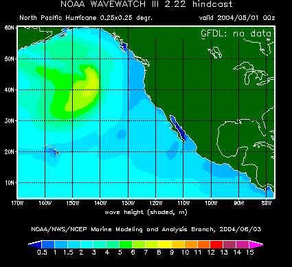
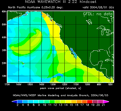
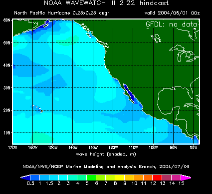
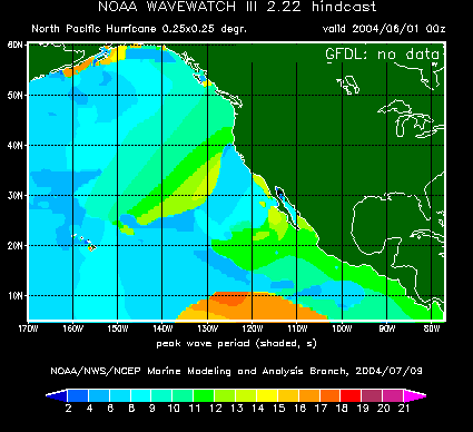
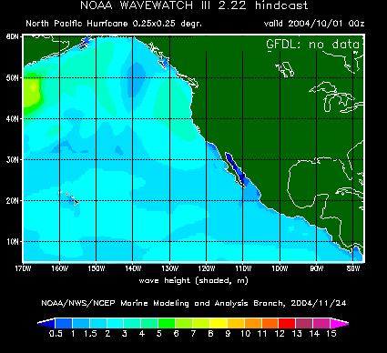
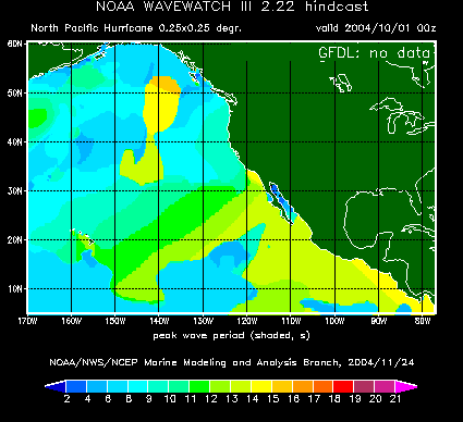
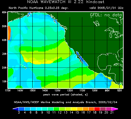
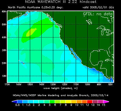
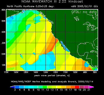
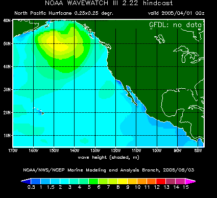
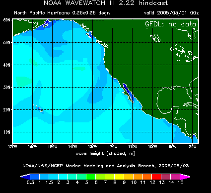
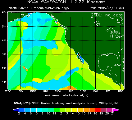
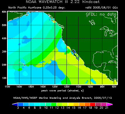
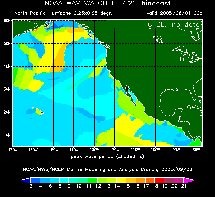
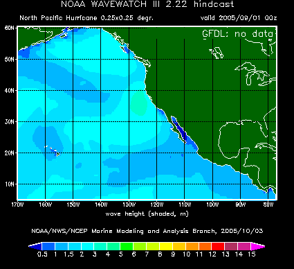
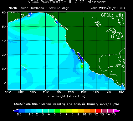
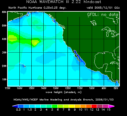
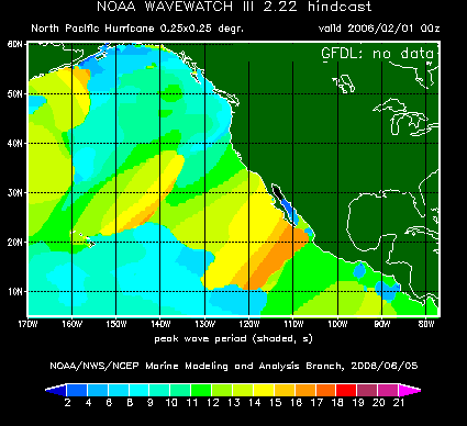
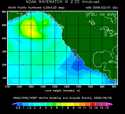
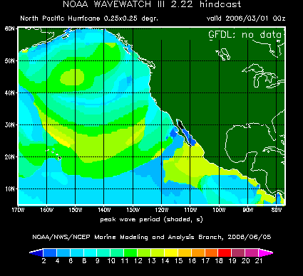
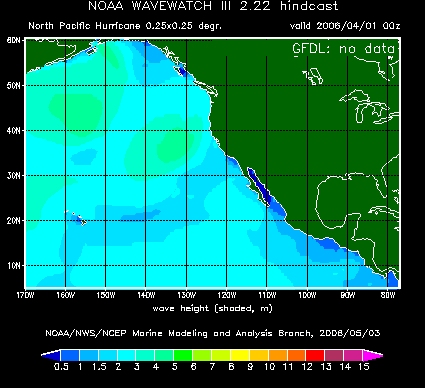
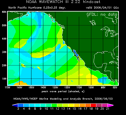
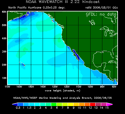
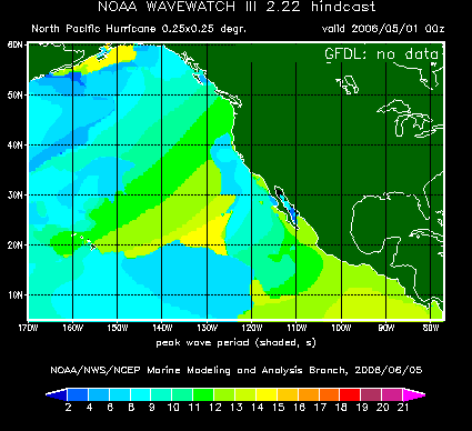
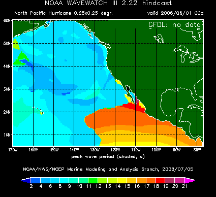
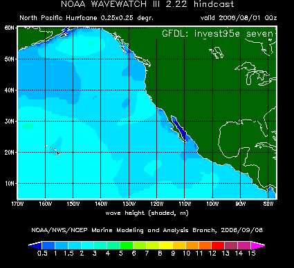
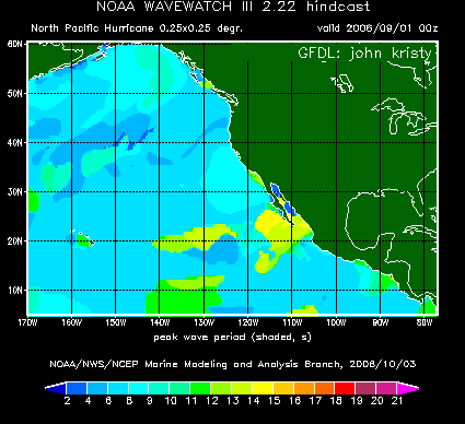
This web page gives access to animations of continuous hindcasts. These hindcasts have been run after the fact with archived wind and ice fields. The entire data set has been (re-) generated with WAVEWATCH III version 2.22 (see changes page). Presented are the wave heights (Hs) and peak periods (Tp) at three hour intervals. The animations start with a cold start of the model, and thus the first month(s) show the model spin-up behavior. Particularly, the period maps for the global model for Feb. 1997, shows that the global model needs approximately 2 weeks to spin up its Pacific swell properly. Corresponding binary wind and wave data (including peak directions) are available at the ftp site at three hour intervals.
CAUTION: The animation files are 3 to 6 MB in size. It will take considerable time to download such a file, depending on the speed of your internet connection. It may be worth while to download the files to local resources before viewing them.
| Year | Jan | Feb | Mar | Apr | May | Jun | Jul | Aug | Sep | Oct | Nov | Dec |
|---|---|---|---|---|---|---|---|---|---|---|---|---|
| 1997 | hs tp | hs tp | hs tp | hs tp | hs tp | hs tp | hs tp | hs tp | hs tp | hs tp | hs tp | hs tp |
| 1998 | hs tp | hs tp | hs tp | hs tp | hs tp | hs tp | hs tp | hs tp | hs tp | hs tp | hs tp | hs tp |
| 1999 | hs tp | hs tp | hs tp | hs tp | hs tp | hs tp | hs tp | hs tp | hs tp | hs tp | hs tp | hs tp |
| 2000 | hs tp | hs tp | hs tp | hs tp | hs tp | hs tp | hs tp | hs tp | hs tp | hs tp | hs tp | hs tp |
| 2001 | hs tp | hs tp | hs tp | hs tp | hs tp | hs tp | hs tp | hs tp | hs tp | hs tp | hs tp | hs tp |
| 2002 | hs tp | hs tp | hs tp | hs tp | hs tp | hs tp | hs tp | hs tp | hs tp | hs tp | hs tp | hs tp |
| 2003 | hs tp | hs tp | hs tp | hs tp | hs tp | hs tp | hs tp | hs tp | hs tp | hs tp | hs tp | hs tp |
| 2004 | hs tp | hs tp | hs tp | hs tp | hs tp | hs tp | hs tp | hs tp | hs tp | hs tp | hs tp | hs tp |
| 2005 | hs tp | hs tp | hs tp | hs tp | hs tp | hs tp | hs tp | hs tp | hs tp | hs tp | hs tp | hs tp |
| 2006 | hs tp | hs tp | hs tp | hs tp | hs tp | hs tp | hs tp | hs tp | hs tp | hs tp | hs tp | hs tp |
| 2007 | hs tp | hs tp | hs tp | hs tp | hs tp | hs tp | hs tp | hs tp | hs tp | hs tp | hs tp | hs tp |
| Year | Jan | Feb | Mar | Apr | May | Jun | Jul | Aug | Sep | Oct | Nov | Dec |
|---|---|---|---|---|---|---|---|---|---|---|---|---|
| 1999 | -- -- | -- -- | -- -- | -- -- | -- -- | -- -- | hs tp | hs tp | hs tp | hs tp | hs tp | hs tp |
| 2000 | hs tp | hs tp | hs tp | hs tp | hs tp | hs tp | hs tp | hs tp | hs tp | hs tp | hs tp | hs tp |
| 2001 | hs tp | hs tp | hs tp | hs tp | hs tp | hs tp | hs tp | hs tp | hs tp | hs tp | hs tp | hs tp |
| 2002 | hs tp | hs tp | hs tp | hs tp | hs tp | hs tp | hs tp | hs tp | hs tp | hs tp | hs tp | hs tp |
| 2003 | hs tp | hs tp | hs tp | hs tp | hs tp | hs tp | hs tp | hs tp | hs tp | hs tp | hs tp | hs tp |
| 2004 | hs tp | hs tp | hs tp | hs tp | hs tp | hs tp | hs tp | hs tp | hs tp | hs tp | hs tp | hs tp |
| 2005 | hs tp | hs tp | hs tp | hs tp | hs tp | hs tp | hs tp | hs tp | hs tp | hs tp | hs tp | hs tp |
| 2006 | hs tp | hs tp | hs tp | hs tp | hs tp | hs tp | hs tp | hs tp | hs tp | -- -- | -- -- | -- -- |
| Year | Jan | Feb | Mar | Apr | May | Jun | Jul | Aug | Sep | Oct | Nov | Dec |
|---|---|---|---|---|---|---|---|---|---|---|---|---|
| 2002 | -- -- | -- -- | -- -- | -- -- | -- -- | -- -- | -- -- | hs tp | hs tp | hs tp | hs tp | hs tp |
| 2003 | hs tp | hs tp | hs tp | hs tp | hs tp | hs tp | hs tp | hs tp | hs tp | hs tp | hs tp | hs tp |
| 2004 | hs tp | hs tp | hs tp | hs tp | hs tp | hs tp | hs tp | hs tp | hs tp | hs tp | hs tp | hs tp |
| 2005 | hs tp | hs tp | hs tp | hs tp | hs tp | hs tp | hs tp | hs tp | hs tp | hs tp | hs tp | hs tp |
| 2006 | hs tp | hs tp | hs tp | hs tp | hs tp | hs tp | hs tp | hs tp | hs tp | -- -- | -- -- | -- -- |
| Year | Jan | Feb | Mar | Apr | May | Jun | Jul | Aug | Sep | Oct | Nov | Dec |
|---|---|---|---|---|---|---|---|---|---|---|---|---|
| 2000 | -- -- | -- -- | -- -- | -- -- | -- -- | -- -- | -- -- | hs tp | hs tp | hs tp | -- -- | -- -- |
| 2001 | -- -- | -- -- | -- -- | -- -- | -- -- | hs tp | -- -- | hs tp | hs tp | hs tp | hs tp | hs tp |
| 2002 | -- -- | -- -- | -- -- | -- -- | -- -- | -- -- | hs tp | hs tp | hs tp | hs tp | -- -- | -- -- |
| 2003 | -- -- | -- -- | -- -- | -- -- | -- -- | hs tp | hs tp | hs tp | hs tp | hs tp | hs tp | hs tp |
| 2004 | -- -- | -- -- | -- -- | -- -- | -- -- | hs tp | hs tp | hs tp | hs tp | hs tp | hs tp | hs tp |
| 2005 | -- -- | -- -- | -- -- | -- -- | -- -- | hs tp | hs tp | hs tp | hs tp | hs tp | hs tp | hs tp |
| 2006 | -- -- | -- -- | -- -- | -- -- | -- -- | hs tp | hs tp | hs tp | hs tp | -- -- | -- -- | -- -- |
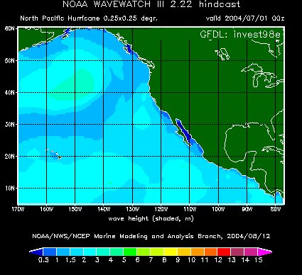
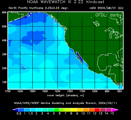
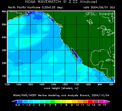
Remarks: For 2000 and 2001, these hurricane archive data were obtained with reduced time resolution wind fields from a partial archive of GFDL winds and should therefore be considered mostly as illustration. Data for several months are not presented here as no hurricanes occured in these months. For 2002, hourly wind fields have been used, and the archive has been generated using the full NCEP archive. Starting with the 2003 hurricane season, this archive is generated automatically like for all other models.
| Year | Jan | Feb | Mar | Apr | May | Jun | Jul | Aug | Sep | Oct | Nov | Dec |
|---|---|---|---|---|---|---|---|---|---|---|---|---|
| 2003 | -- -- | -- -- | -- -- | -- -- | -- -- | -- -- | -- -- | hs tp | hs tp | hs tp | hs tp | hs tp |
| 2004 | hs tp | hs tp | hs tp | hs tp | hs tp | hs tp | hs tp | hs tp | hs tp | hs tp | hs tp | hs tp |
| 2005 | hs tp | hs tp | hs tp | hs tp | hs tp | hs tp | hs tp | hs tp | hs tp | hs tp | hs tp | hs tp |
| 2006 | hs tp | hs tp | hs tp | hs tp | hs tp | hs tp | hs tp | hs tp | hs tp | -- -- | -- -- | -- -- |
Unlike for the NAH model, this archive is generated automatically from its inception.