| Home | Compare with Obs* | Data Assim* | Monitor* | RTOFS & WOCE* | Graphics Viewer* | Data Access | About the Model |
| * -- MMAB internal use only | |||||||
NOTICE: As of March 14, 2017, the National Centers for Environmental Prediction (NCEP) discontinued the North Atlantic Basin Real Time Ocean Forecasting System (RTOFS Atlantic). This system has been superseded by the Global Real Time Ocean Forecasting System (RTOFS Global), which became operational October 2011. More information is available here.
Additional documentation on using NOMADS/DODS to obtain Atlantic RTOFS model data is listed below. You may need to install the free Acrobat® Reader to view them.
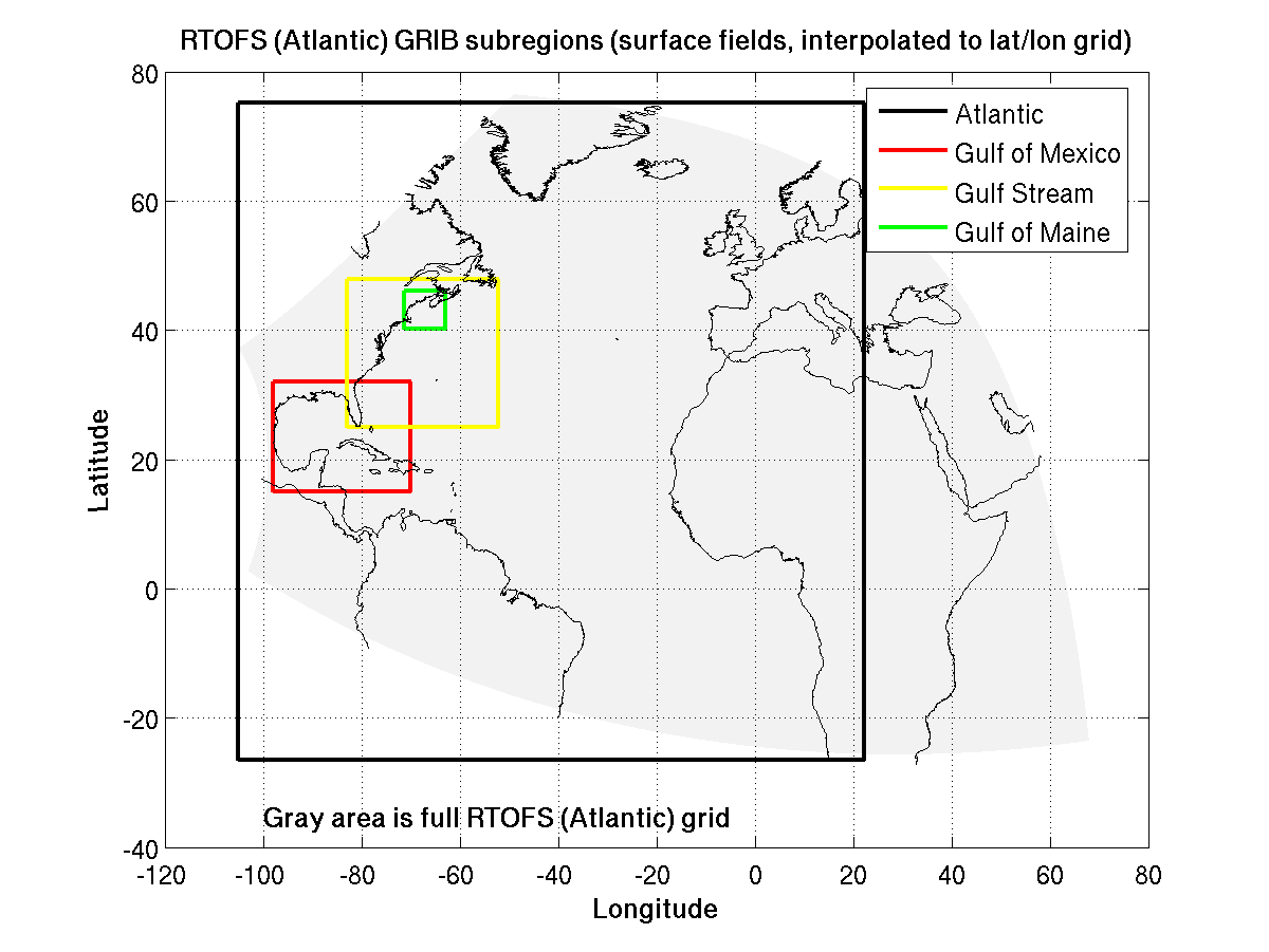
In addition to the full-field data sets available from the MMAB FTP and NCEP NOMADS (GDS/DODS) servers several additional subregions are available through the NOMADS server. These are surface fields derived from the full-field data interpolated to a regular lat/lon grid.
The GRIB file name format is: ofs_atl_t00z.YYMMDD.ffff.grb
The full-field data sets on NOADS and the FTPPRD server are in the model's native orthogonal curvilinear coordinates in the horizontal, and are interpolated to 40 pressure levels in the vertical. Here is a list of the interpolated depths.
The following fields are included in the GRIB files:
1Note that the u and v horizontal velocities are in the frame of reference of the model grid, not rotated into lat/lon coordinates. Rotation routines in Fortran and MATLAB are available here.
1Note that the u and v horizontal velocities are in the frame of reference of the model grid, not rotated into lat/lon coordinates. Rotation routines in Fortran and MATLAB are available here.
About Us
About the MMAB -
Mission -
Other NCEP Centers -
MMAB Personnel -
NOAA Locator
USA.gov
is the U.S. government's official web portal to all federal,
state and local government web resources and services.
NOAA/
National Weather Service
National Centers for Environmental Prediction
Environmental Modeling Center
Marine Modeling and Analysis Branch
5200 Auth Road
Camp Springs, Maryland 20746-4304 USA
Comments/Feedback
Disclaimer
Privacy Policy
Page last modified: Wednesday, 14-Nov-2018 19:55:47 UTC