|
Search by city or zip code. Press enter or select the go button to submit request
|
|
Atlantic RTOFS Development
Atlantic RTOFS is the first of a series of ocean forecast systems based on
HYCOM. Part of the development of this system was done under a
multi-national HYCOM Consortium funded by NOPP. HYCOM is the result of
collaborative efforts among the University of Miami, the Naval Research
Laboratory (NRL), and the Los Alamos National Laboratory (LANL), as part of
the multi-institutional
HYCOM Consortium for Data-Assimilative Ocean Modeling funded by the
National Ocean Partnership Program (NOPP)
to develop and evaluate a data-assimilative
hybrid isopycnal-sigma-pressure (generalized) coordinate ocean model.
Goals
- Establish operational high resolution (eddy resolving)
ocean forecast system for short-term forecasts (approximately 1-week) of
the Atlantic ocean with US deep and coastal waters well resolved.
- Nowcasts and forecasts of sea levels, currents, temperatures,
and salinity. Emphasis on the coastal ocean, the Loop Current and
the Gulf Stream regions.
- Provide seamless boundary and initial conditions to
regional ocean physical and biogeochemical models.
- Coupled circulation-wave ocean models with one-way and
two-way interactions.
- Coupled atmosphere-ocean hurricane forecast
Evaluation
The
NWS/NCEP Ocean Prediction Center has completed an
evaluation of Atlantic RTOFS.
Their report is available here (pdf).
Model Configuration
- The dynamical model is HYCOM.
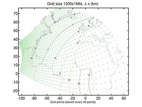
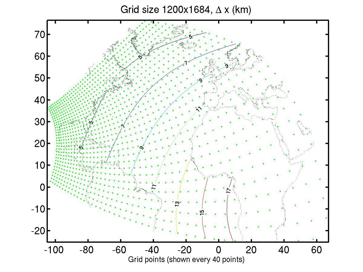
Atlantic RTOFS Orthogonal grid with approximate grid spacing indicated
Click to enlarge
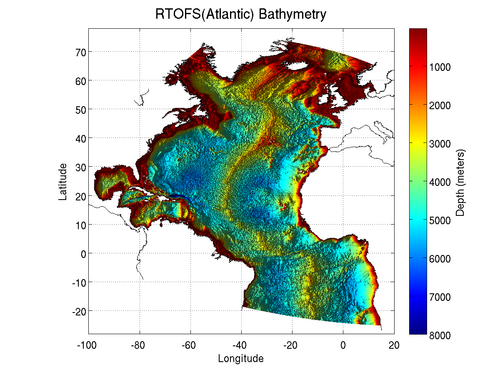
Atlantic RTOFS bathymetry
Click to enlarge
- Surface Forcing
- forcing fields from 3-hour NCEP (GDAS/GFS) model
- Open Boundaries
- Relaxed to NCEP climatology.
Also relaxed to climatology in the Straits of Gibraltar region
- Tides
- M2, S2, N2, K1, P1, O1, K2, Q1 tidal modes
- Body and boundary tides
- Rivers
- From daily USGS data and RIVDIS climatology
- Data Assimilation
- SST: from GOES AVHRR and in-situ
- SSH, T, S: using SLA from JASON GFO
- T,S: from ARGOS, XBT, CTD
- Model Parameters
- Time step: split-explicit 150 sec baroclinic, 5 sec barotropic
- Advection scheme: 2nd order Flux Corrected Transport (FCT)
with density and salinity as the advected scalars
- Horizontal momentum viscosity: additive laplacian with biharmonic
operators
- Laplacian: deformation factor = 0.1, diffusion velocity = 0.0075 m/s
- Biharmonic: deformation factor = 0.0, diffusion velocity = 0.01 m/s
- Laplacian scalar diffusion (diffusion velocity: 0.005 m/s)
- Vertical viscosity and mixing: GISS
- Quadratic bottom friction coefficient: 0.003
- Bottom boundary layer thickness: 10 m
|
|
|
|