|
NOTICE:
As of March 14, 2017, the National Centers for
Environmental Prediction (NCEP) discontinued the North
Atlantic Basin Real Time Ocean Forecasting System (RTOFS
Atlantic). This system has been superseded by the Global Real
Time Ocean Forecasting System (RTOFS Global), which became
operational October 2011.
More information is available here.
The Atlantic operational Real Time Ocean Forecasting System (Atlantic RTOFS)
is a basin-scale ocean forecast system based on
the
HYbrid Coordinate Ocean Model (HYCOM). Atlantic RTOFS is described in
the following paper (PDF):
"A Real Time Ocean Forecast System for the North Atlantic Ocean" by Mehra
and Rivin, Terr. Atmos. Ocean. Sci., Vol. 21, No. 1, 211-228, February 2010
The model is run once a day, completing at about 1400Z. Each run starts
with a 24 hour assimiliation hindcast and produces ocean surface forecasts
every hour and full volume forecasts every 24 hours from
the 0000Z nowcast out to 120 hours.
Atlantic RTOFS model data
is available after
1400 UTC (9 AM EST).
Nowcast/Forecast graphics are
updated around
1600 UTC (11 AM EST).

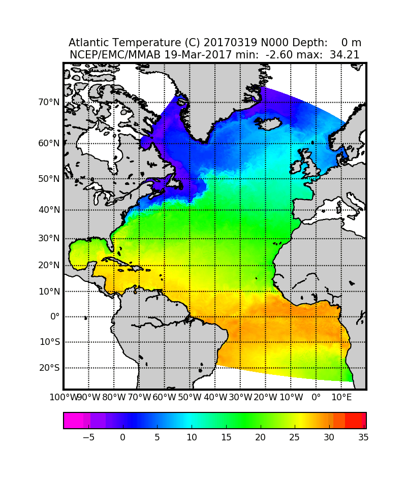
Atlantic RTOFS Sea Surface Temperature for 22 Jul 2013
Click to enlarge
Descriptions of the main menu options
The following selections are available from the main menu at the top of the
page.
| Compare with Obs | Daily satellite and model SST comparisons |
| Data Assim | Analysis of the assimilation of observational data
into the model |
| Atlantic RTOFS & WOCE | Comparison of vertical cross sections of the model basin
with World Ocean Circulation Experiment section data. |
| Graphics Viewer | Daily suite of graphical analyses of the model
outputs. All of the model parameters (temperature, salinity, sea surface
height, mixed layer depth, and velocities) are sampled at a variety of
depths. |
| Data Access | How to get and use the
model data. Information is available on the data formats used as well as
methods of accessing the data interactively. |
| About the Model | Background information on
the Atlantic RTOFS
model |
Disclaimer
While Atlantic RTOFS is an operational model, we cannot guarantee the
timeliness or accuracy of the model data and figures offered on this site.
Please see our disclaimer for more information.
IMPORTANT NOTE:
The velocity lat/lon values that are stored in the RTOFS
GRiB files (lavv, lovv, lauv, louv) are not correct. The pressure point
lat/lon values (lapp, lopp) are correct. The file
RTOFS_grid_reference.mat.gz available from our FTP server is a
Matlab .mat file with the correct u/v lat/lon points derived directly from the
HYCOM regional.grid.a file. (23 February 2011).
Questions or Comments?
We welcome any questions or comments you may have on the Atlantic RTOFS system.
Subscribe to the RTOFS Users mailing list. This list
is for announcements of new features and releases as well as general
discussions on the model.
You can also send us email by selecting from the following list of contacts:
|